Raymore night lights from space
Night Light of Raymore (Missouri) from space (United States) Src. Average luminocity for 10x10km area is 36.6684% and for 50x50km: 32.7093%.
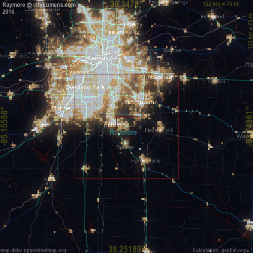
Analysis of Raymore night lights 2016
Square area 10x10 km:
 1.19%
1.19%90-99
4.25%80-89
6.46%70-79
4.42%60-69
10.03%50-59
3.23%40-49
8.5%30-39
6.12%20-29
17.35%10-19
26.87%0-9
11.56%Square area 50x50 km:
6.93%90-99
8.34%80-89
4.75%70-79
3.81%60-69
4.5%50-59
3.81%40-49
3.9%30-39
3.82%20-29
4.51%10-19
6.22%0-9
49.42%Clear (daylight) street map image can be seen on geolist.org.
Map coordinates:
39° 20' 52.1" North, 95° 9' 21.1" West
38° 48' 7" North, 94° 27' 9.8" West
38° 15' 6.8" North, 93° 44' 58.6" West
Some cities around Raymore sort by population:
• Lee's Summit
13.6 km =8.5 mi,  26°
26°
• Leawood
23.2 km =14.4 mi,  322°
322°
• Raytown
23 km =14.3 mi,  357°
357°
• Grandview
11.6 km =7.2 mi, 323°
• Belton
6.9 km =4.3 mi,  279°
279°
• Harrisonville
18.8 km =11.7 mi,  151°
151°
• Pleasant Hill
16 km =9.9 mi,  95°
95°
• Greenwood
10.9 km =6.8 mi,  59°
59°
4405180 (p: 20,374)
Sources (retrieved 2019-11-25):
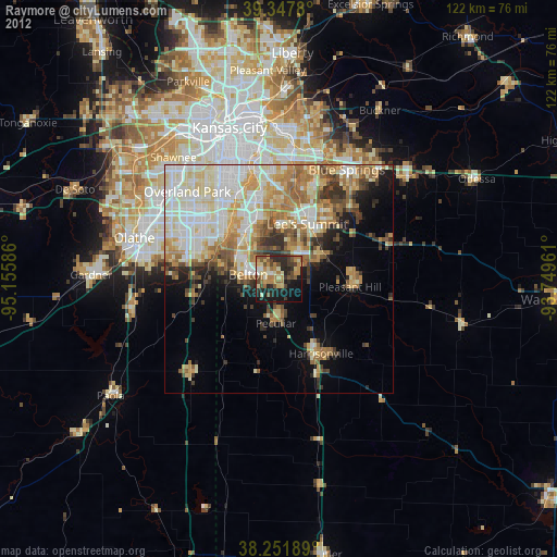
» Earth at Night: Flat Maps 2012, 2016