Hillside night lights from space
Night Light of Hillside (New York) from space (United States) Src. Average luminocity for 10x10km area is 99.9221% and for 50x50km: 67.5112%.
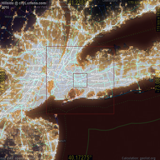
Analysis of Hillside night lights 2016
Square area 10x10 km:
 93.67%
90-99
6.33%80-89
0%70-79
0%60-69
0%50-59
0%40-49
0%30-39
0%20-29
0%10-19
0%0-9
0%Square area 50x50 km:
37.86%90-99
14.55%80-89
3.74%70-79
4.31%60-69
4.3%50-59
3.31%40-49
2.83%30-39
2.76%20-29
4.54%10-19
6.34%0-9
15.45%Clear (daylight) street map image can be seen on geolist.org.
Map coordinates:
41° 14' 19.5" North, 74° 29' 23.7" West
40° 42' 28.4" North, 73° 47' 12.5" West
40° 10' 21.9" North, 73° 5' 1.2" West
Some cities around Hillside sort by population:
• Jamaica
2.4 km =1.5 mi,  221°
221°
• Richmond Hill
3.9 km =2.4 mi,  256°
256°
• Briarwood
2.4 km =1.5 mi,  273°
273°
• Fresh Meadows
3 km =1.9 mi,  349°
349°
• Hollis
1.8 km =1.1 mi,  69°
69°
• Kew Gardens
3.8 km =2.4 mi,  280°
280°
• Terrace Heights
2.1 km =1.3 mi,  44°
44°
• Bellaire
2.8 km =1.7 mi,  76°
76°
5120824 (p: 24,808)
Sources (retrieved 2019-11-25):
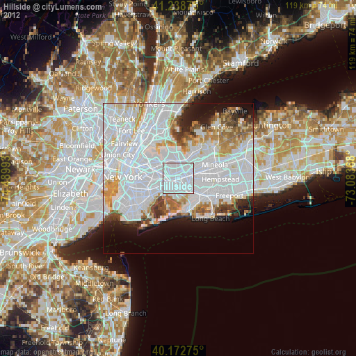
» Earth at Night: Flat Maps 2012, 2016