Bangor night lights from space
Night Light of Bangor (Maine) from space (United States) Src. Average luminocity for 10x10km area is 60.5873% and for 50x50km: 4.2756%.
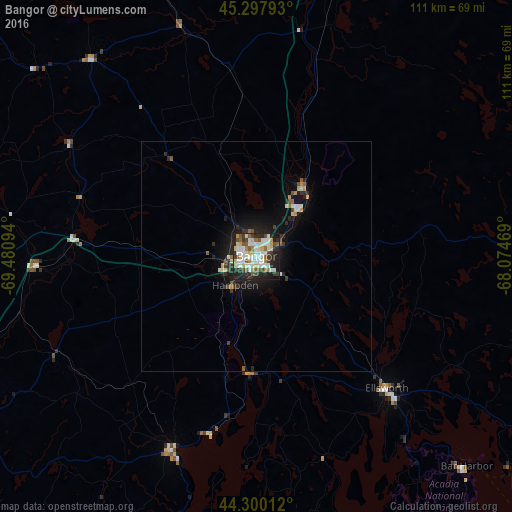
Analysis of Bangor night lights 2016
Square area 10x10 km:
 13.17%
90-99
18.73%80-89
7.3%70-79
4.92%60-69
4.76%50-59
9.05%40-49
6.03%30-39
8.89%20-29
17.3%10-19
9.68%0-9
0.16%Square area 50x50 km:
0.54%90-99
0.97%80-89
0.43%70-79
0.33%60-69
0.3%50-59
0.65%40-49
0.39%30-39
0.71%20-29
1.43%10-19
3.3%0-9
90.95%Clear (daylight) street map image can be seen on geolist.org.
Map coordinates:
45° 17' 52.5" North, 69° 28' 51.4" West
44° 48' 4.2" North, 68° 46' 40.1" West
44° 18' 0.4" North, 68° 4' 28.9" West
Some cities around Bangor sort by population:
• Waterville
73 km =45.4 mi,  247°
247°
• Orono
12.4 km =7.7 mi,  42°
42°
• Brewer
1.4 km =0.9 mi,  110°
110°
• Ellsworth
40.3 km =25 mi,  135°
135°
• Winslow
72.4 km =45 mi, 247°
• Old Town
18.1 km =11.2 mi, 35°
• Belfast
45.5 km =28.3 mi,  203°
203°
• Skowhegan
74.4 km =46.2 mi,  266°
266°
4957280 (p: 32,391)
Sources (retrieved 2019-11-25):
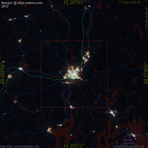
» Earth at Night: Flat Maps 2012, 2016