Hesperia night lights from space
Night Light of Hesperia (California) from space (United States) Src. Average luminocity for 10x10km area is 62.6399% and for 50x50km: 16.438%.
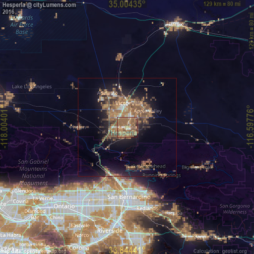
Analysis of Hesperia night lights 2016
Square area 10x10 km:
 2.97%
2.97%90-99
5.07%80-89
2.62%70-79
9.27%60-69
35.14%50-59
29.9%40-49
12.41%30-39
1.05%20-29
0.17%10-19
1.4%0-9
0%Square area 50x50 km:
0.83%90-99
1.19%80-89
0.55%70-79
1.61%60-69
6.26%50-59
4.91%40-49
4.36%30-39
2.78%20-29
3.39%10-19
9.4%0-9
64.72%Clear (daylight) street map image can be seen on geolist.org.
Map coordinates:
35° 0' 15.7" North, 118° 0' 14.4" West
34° 25' 35" North, 117° 18' 3.2" West
33° 50' 39.9" North, 116° 35' 51.9" West
Some cities around Hesperia sort by population:
• Victorville
12.2 km =7.6 mi,  4°
4°
• Apple Valley
13.4 km =8.3 mi,  51°
51°
• Adelanto
20 km =12.4 mi,  330°
330°
• Phelan
24.9 km =15.5 mi,  269°
269°
• Lake Arrowhead
22.3 km =13.9 mi,  152°
152°
• Crestline
20.6 km =12.8 mi,  176°
176°
• Oak Hills
8.8 km =5.5 mi,  236°
236°
• Spring Valley Lake
8.1 km =5 mi,  21°
21°
5356576 (p: 93,295)
Sources (retrieved 2019-11-25):
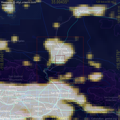
» NASA, Earths city lights 1995
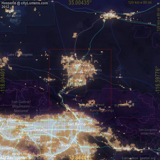
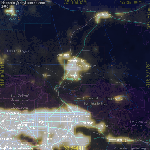
» NASA city lights 2003
» Earth at Night: Flat Maps 2012, 2016