Auburn Hills night lights from space
Night Light of Auburn Hills (Michigan) from space (United States) Src. Average luminocity for 10x10km area is 79.4394% and for 50x50km: 49.8976%.
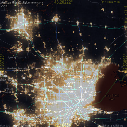
Analysis of Auburn Hills night lights 2016
Square area 10x10 km:
 23.79%
90-99
22.42%80-89
5.45%70-79
7.12%60-69
20.91%50-59
13.79%40-49
5.3%30-39
0.91%20-29
0.3%10-19
0%0-9
0%Square area 50x50 km:
11.41%90-99
10.97%80-89
5.39%70-79
7.29%60-69
10.71%50-59
8.33%40-49
5.61%30-39
3.97%20-29
4.31%10-19
6.33%0-9
25.68%Clear (daylight) street map image can be seen on geolist.org.
Map coordinates:
43° 12' 8" North, 83° 56' 14" West
42° 41' 15.1" North, 83° 14' 2.8" West
42° 10' 6.7" North, 82° 31' 51.5" West
Some cities around Auburn Hills sort by population:
• Troy
11.4 km =7.1 mi,  142°
142°
• Waterford
14.5 km =9 mi,  272°
272°
• Shelby
16.5 km =10.3 mi,  96°
96°
• Rochester Hills
7.6 km =4.7 mi,  115°
115°
• West Bloomfield Township
18 km =11.2 mi,  222°
222°
• Pontiac
7.1 km =4.4 mi, 220°
• Birmingham
15.8 km =9.8 mi,  173°
173°
• Rochester
8.2 km =5.1 mi, 95°
4984565 (p: 22,672)
Sources (retrieved 2019-11-25):
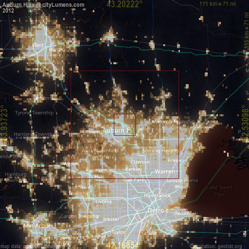
» Earth at Night: Flat Maps 2012, 2016