Ashtabula night lights from space
Night Light of Ashtabula (Ohio) from space (United States) Src. Average luminocity for 10x10km area is 43.1476% and for 50x50km: 5.8649%.
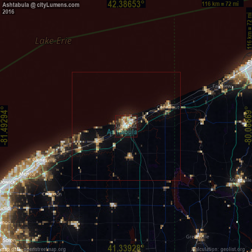
Analysis of Ashtabula night lights 2016
Square area 10x10 km:
 6.03%
6.03%90-99
6.67%80-89
7.94%70-79
4.6%60-69
7.14%50-59
8.1%40-49
3.97%30-39
7.14%20-29
9.37%10-19
32.22%0-9
6.83%Square area 50x50 km:
0.29%90-99
0.58%80-89
0.9%70-79
0.58%60-69
0.79%50-59
1.04%40-49
0.93%30-39
1.04%20-29
1.61%10-19
4.51%0-9
87.7%Clear (daylight) street map image can be seen on geolist.org.
Map coordinates:
42° 23' 11.5" North, 81° 29' 34.6" West
41° 51' 54.2" North, 80° 47' 23.3" West
41° 20' 21.4" North, 80° 5' 12.1" West
Some cities around Ashtabula sort by population:
• Mentor
50.7 km =31.5 mi,  244°
244°
• Painesville
40.9 km =25.4 mi,  247°
247°
• Conneaut
21.5 km =13.4 mi,  64°
64°
• North Madison
22.6 km =14 mi, 251°
• Mentor-on-the-Lake
50.5 km =31.4 mi, 249°
• Kirtland
54.2 km =33.7 mi, 241°
• Geneva
14.7 km =9.1 mi, 243°
• Chardon
40.8 km =25.4 mi,  226°
226°
5146089 (p: 18,371)
Sources (retrieved 2019-11-25):
» Earth at Night: Flat Maps 2012, 2016