Ashland night lights from space
Night Light of Ashland (Oregon) from space (United States) Src. Average luminocity for 10x10km area is 14.8303% and for 50x50km: 5.2714%.
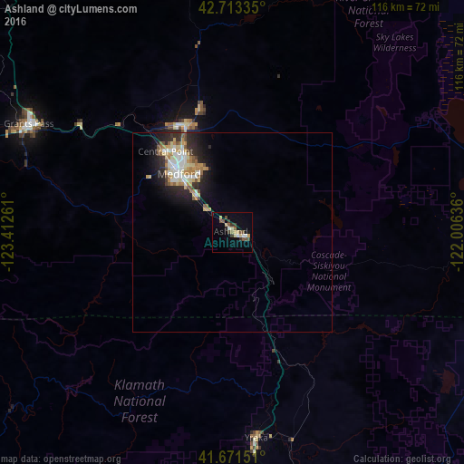
Analysis of Ashland night lights 2016
Square area 10x10 km:
 0.45%
0.45%90-99
2.27%80-89
3.33%70-79
1.21%60-69
0.61%50-59
3.48%40-49
2.73%30-39
3.79%20-29
0.91%10-19
1.67%0-9
79.55%Square area 50x50 km:
0.75%90-99
0.96%80-89
0.91%70-79
0.65%60-69
0.57%50-59
0.69%40-49
0.46%30-39
0.53%20-29
1.69%10-19
2.85%0-9
89.95%Clear (daylight) street map image can be seen on geolist.org.
Map coordinates:
42° 42' 48.1" North, 123° 24' 45.4" West
42° 11' 40.5" North, 122° 42' 34.1" West
41° 40' 17.4" North, 122° 0' 22.9" West
Some cities around Ashland sort by population:
• Medford
20.1 km =12.5 mi,  317°
317°
• Grants Pass
57.9 km =36 mi,  298°
298°
• Klamath Falls
76.5 km =47.5 mi,  87°
87°
• Central Point
26.4 km =16.4 mi, 319°
• Eagle Point
31.9 km =19.8 mi,  346°
346°
• White City
29.7 km =18.5 mi,  335°
335°
• Yreka
51.4 km =31.9 mi,  173°
173°
• Talent
8.6 km =5.3 mi,  311°
311°
5711789 (p: 20,861)
Sources (retrieved 2019-11-25):
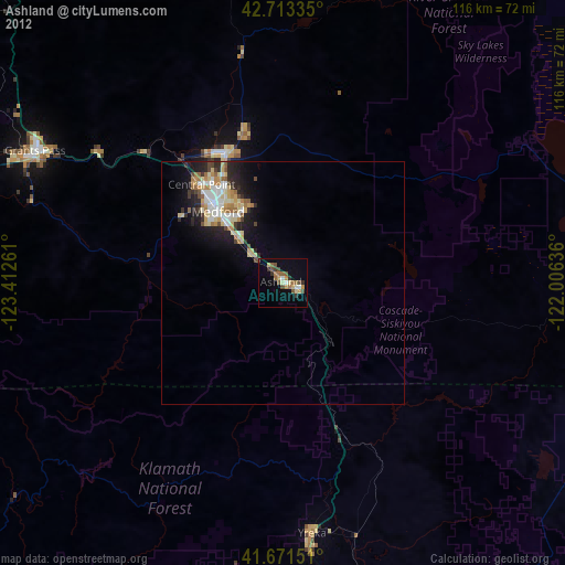
» Earth at Night: Flat Maps 2012, 2016