Klamath Falls night lights from space
Night Light of Klamath Falls (Oregon) from space (United States) Src. Average luminocity for 10x10km area is 36.4894% and for 50x50km: 2.1918%.
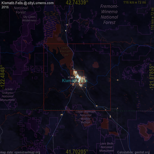
Analysis of Klamath Falls night lights 2016
Square area 10x10 km:
 5.45%
5.45%90-99
4.7%80-89
4.24%70-79
3.18%60-69
6.36%50-59
8.48%40-49
7.27%30-39
3.64%20-29
9.55%10-19
28.33%0-9
18.79%Square area 50x50 km:
0.25%90-99
0.22%80-89
0.21%70-79
0.2%60-69
0.29%50-59
0.49%40-49
0.48%30-39
0.34%20-29
0.45%10-19
1.97%0-9
95.1%Clear (daylight) street map image can be seen on geolist.org.
Map coordinates:
42° 44' 36.2" North, 122° 29' 5.3" West
42° 13' 29.5" North, 121° 46' 54" West
41° 42' 7.4" North, 121° 4' 42.8" West
Some cities around Klamath Falls sort by population:
• Medford
90.7 km =56.4 mi,  277°
277°
• Ashland
76.5 km =47.5 mi,  267°
267°
• Altamont
4.2 km =2.6 mi,  118°
118°
• Central Point
94.8 km =58.9 mi, 280°
• Eagle Point
88.3 km =54.9 mi,  288°
288°
• White City
91.6 km =56.9 mi, 284°
• Yreka
89.1 km =55.4 mi,  232°
232°
• Talent
82.9 km =51.5 mi, 271°
5735238 (p: 21,399)
Sources (retrieved 2019-11-25):
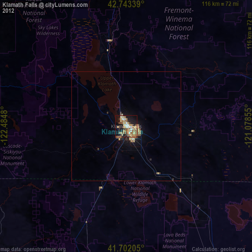
» Earth at Night: Flat Maps 2012, 2016