Arnold night lights from space
Night Light of Arnold (Maryland) from space (United States) Src. Average luminocity for 10x10km area is 59.4416% and for 50x50km: 37.5628%.
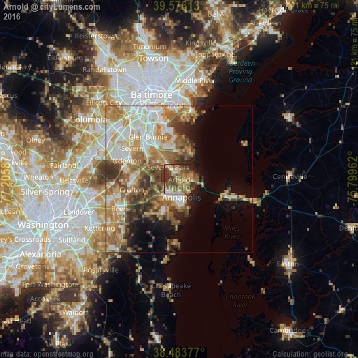
Analysis of Arnold night lights 2016
Square area 10x10 km:
 4.87%
4.87%90-99
6.66%80-89
10.23%70-79
12.5%60-69
10.06%50-59
21.27%40-49
12.99%30-39
13.15%20-29
7.79%10-19
0.49%0-9
0%Square area 50x50 km:
6.65%90-99
7.53%80-89
4.94%70-79
6.69%60-69
6.47%50-59
6.81%40-49
5.17%30-39
5.3%20-29
3.91%10-19
6.25%0-9
40.28%Clear (daylight) street map image can be seen on geolist.org.
Map coordinates:
39° 34' 34.1" North, 77° 12' 21.1" West
39° 1' 55.4" North, 76° 30' 9.9" West
38° 29' 1.6" North, 75° 47' 58.6" West
Some cities around Arnold sort by population:
• Annapolis
6 km =3.7 mi,  170°
170°
• Severna Park
5.6 km =3.5 mi,  319°
319°
• Pasadena
10.2 km =6.3 mi, 324°
• Lake Shore
8.5 km =5.3 mi,  10°
10°
• Parole
6.3 km =3.9 mi,  202°
202°
• Edgewater
9.3 km =5.8 mi,  206°
206°
• Cape Saint Claire
5.1 km =3.2 mi,  76°
76°
• Robinwood
8.7 km =5.4 mi,  186°
186°
4347426 (p: 23,106)
Sources (retrieved 2019-11-25):
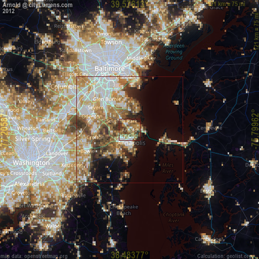
» Earth at Night: Flat Maps 2012, 2016