Severna Park night lights from space
Night Light of Severna Park (Maryland) from space (United States) Src. Average luminocity for 10x10km area is 56.6883% and for 50x50km: 47.0606%.
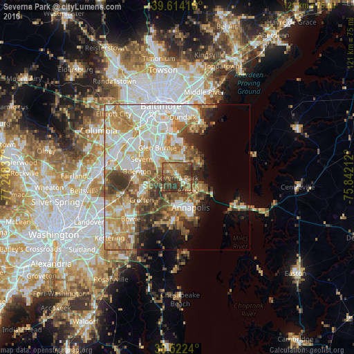
Analysis of Severna Park night lights 2016
Square area 10x10 km:
 2.44%
2.44%90-99
3.41%80-89
7.31%70-79
11.53%60-69
16.23%50-59
21.1%40-49
17.05%30-39
19.48%20-29
1.46%10-19
0%0-9
0%Square area 50x50 km:
10.79%90-99
10.03%80-89
6.22%70-79
8.38%60-69
7.49%50-59
6.86%40-49
5.36%30-39
5.3%20-29
3.86%10-19
6.1%0-9
29.62%Clear (daylight) street map image can be seen on geolist.org.
Map coordinates:
39° 36' 51" North, 77° 14' 54.1" West
39° 4' 13.4" North, 76° 32' 42.9" West
38° 31' 20.6" North, 75° 50' 31.6" West
Some cities around Severna Park sort by population:
• South Gate
9.5 km =5.9 mi,  313°
313°
• Pasadena
4.7 km =2.9 mi,  331°
331°
• Arnold
5.6 km =3.5 mi,  139°
139°
• Lake Shore
6.6 km =4.1 mi,  51°
51°
• Green Haven
7.7 km =4.8 mi,  358°
358°
• Parole
10.2 km =6.3 mi,  172°
172°
• Riviera Beach
11.2 km =7 mi,  16°
16°
• Cape Saint Claire
9.2 km =5.7 mi,  109°
109°
4369224 (p: 37,634)
Sources (retrieved 2019-11-25):
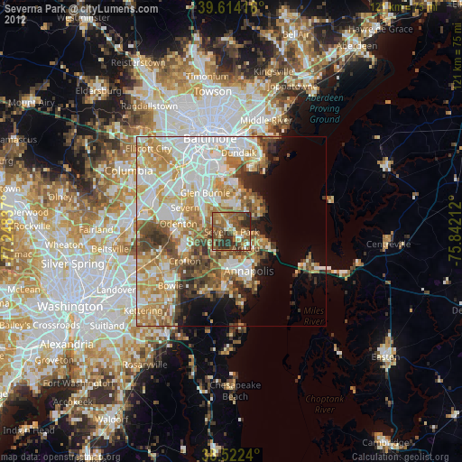
» Earth at Night: Flat Maps 2012, 2016