Anderson night lights from space
Night Light of Anderson (Indiana) from space (United States) Src. Average luminocity for 10x10km area is 69.2776% and for 50x50km: 17.3188%.
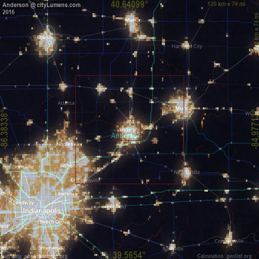
Analysis of Anderson night lights 2016
Square area 10x10 km:
 14.12%
90-99
18.99%80-89
8.6%70-79
9.25%60-69
8.12%50-59
14.94%40-49
10.55%30-39
8.77%20-29
4.71%10-19
1.95%0-9
0%Square area 50x50 km:
1.92%90-99
2.54%80-89
2.65%70-79
2.19%60-69
2.61%50-59
2.4%40-49
2.63%30-39
2.88%20-29
4.54%10-19
10.43%0-9
65.21%Clear (daylight) street map image can be seen on geolist.org.
Map coordinates:
40° 38' 27.6" North, 86° 23' 0.2" West
40° 6' 19.2" North, 85° 40' 48.9" West
39° 33' 55.4" North, 84° 58' 37.7" West
Some cities around Anderson sort by population:
• Fishers
32.9 km =20.4 mi,  239°
239°
• Muncie
26.8 km =16.7 mi,  68°
68°
• Noblesville
28.7 km =17.8 mi,  256°
256°
• New Castle
32.9 km =20.4 mi,  126°
126°
• Yorktown
17.5 km =10.9 mi,  64°
64°
• Elwood
23.5 km =14.6 mi,  324°
324°
• McCordsville
30.1 km =18.7 mi,  223°
223°
• Alexandria
17.5 km =10.9 mi,  1°
1°
4917592 (p: 55,305)
Sources (retrieved 2019-11-25):
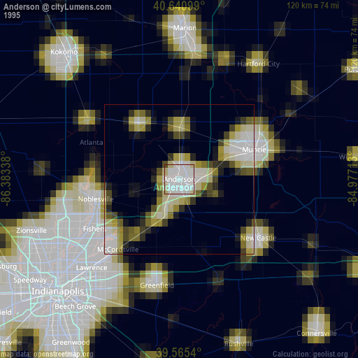
» NASA, Earths city lights 1995
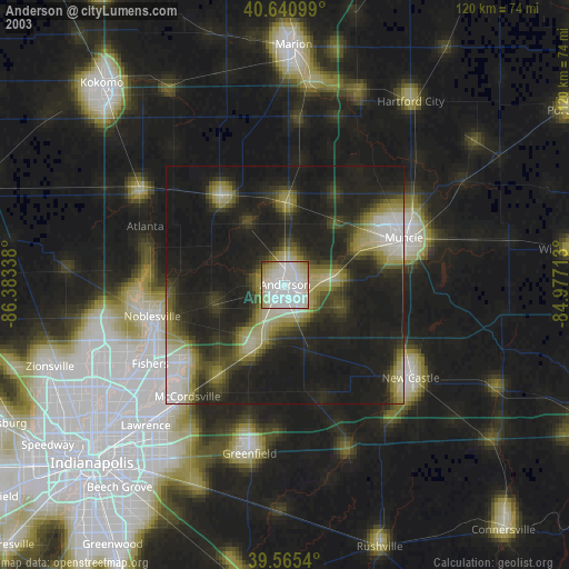
» NASA city lights 2003
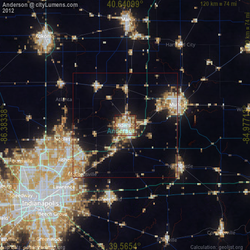
» Earth at Night: Flat Maps 2012, 2016