Alexandria night lights from space
Night Light of Alexandria (Virginia) from space (United States) Src. Average luminocity for 10x10km area is 91.8912% and for 50x50km: 71.0268%.
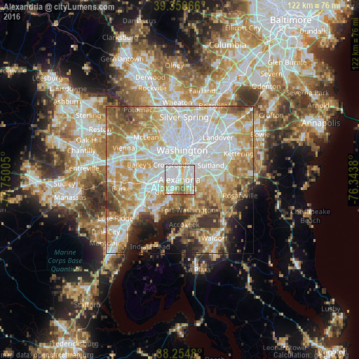
Analysis of Alexandria night lights 2016
Square area 10x10 km:
 45.07%
90-99
27.89%80-89
10.2%70-79
6.97%60-69
5.1%50-59
2.55%40-49
2.21%30-39
0%20-29
0%10-19
0%0-9
0%Square area 50x50 km:
22.26%90-99
15.73%80-89
10.32%70-79
12.6%60-69
9.86%50-59
7.02%40-49
3.93%30-39
4.38%20-29
4.31%10-19
5.32%0-9
4.26%Clear (daylight) street map image can be seen on geolist.org.
Map coordinates:
39° 21' 2.4" North, 77° 45' 0.2" West
38° 48' 17.4" North, 77° 2' 48.9" West
38° 15' 17.3" North, 76° 20' 37.7" West
Some cities around Alexandria sort by population:
• Oxon Hill-Glassmanor
6.3 km =3.9 mi,  98°
98°
• Rose Hill
6 km =3.7 mi,  252°
252°
• Oxon Hill
5 km =3.1 mi,  91°
91°
• Glassmanor
4.5 km =2.8 mi,  69°
69°
• Hybla Valley
7.1 km =4.4 mi,  206°
206°
• Groveton
5.3 km =3.3 mi,  218°
218°
• Huntington
2.5 km =1.6 mi,  236°
236°
• Belle Haven
2.6 km =1.6 mi, 212°
4744091 (p: 153,511)
Sources (retrieved 2019-11-25):
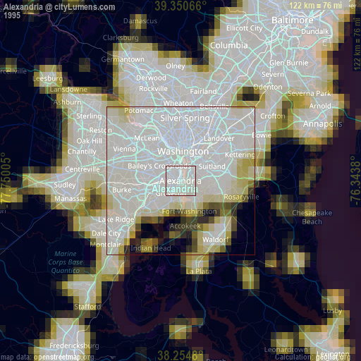
» NASA, Earths city lights 1995
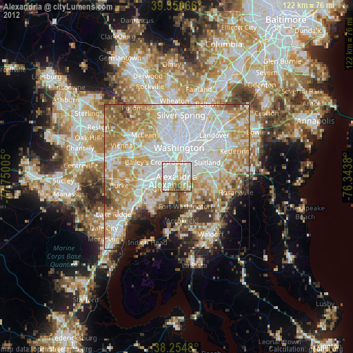
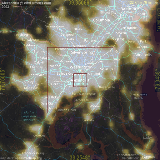
» NASA city lights 2003
» Earth at Night: Flat Maps 2012, 2016