Kiboga night lights from space
Night Light of Kiboga (Central Region) from space (Uganda) Src. Average luminocity for 10x10km area is 0.2641% and for 50x50km: 0.0109%.
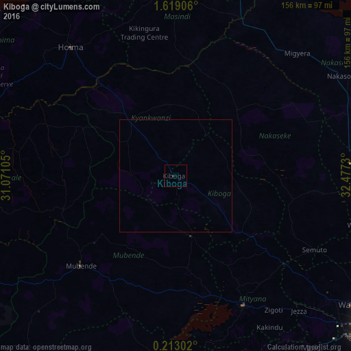
Analysis of Kiboga night lights 2016
Square area 10x10 km:
 0%
0%90-99
0%80-89
0%70-79
0%60-69
0%50-59
0%40-49
0%30-39
0%20-29
0.87%10-19
0%0-9
99.13%Square area 50x50 km:
0%90-99
0%80-89
0%70-79
0%60-69
0%50-59
0%40-49
0%30-39
0%20-29
0.03%10-19
0%0-9
99.97%Clear (daylight) street map image can be seen on geolist.org.
Map coordinates:
1° 37' 8.6" North, 31° 4' 15.8" East
0° 54' 58" North, 31° 46' 27" East
0° 12' 46.9" North, 32° 28' 38.3" East
Some cities around Kiboga sort by population:
• Mityana
61.9 km =38.5 mi,  153°
153°
• Hoima
74.2 km =46.1 mi,  320°
320°
• Masindi
84.6 km =52.6 mi,  355°
355°
• Luwero
78.1 km =48.5 mi,  95°
95°
• Wobulenzi
84.7 km =52.6 mi, 104°
• Namasuba
76.2 km =47.3 mi,  109°
109°
• Mubende
58 km =36 mi,  226°
226°
• Kibale
79.7 km =49.5 mi,  260°
260°
231550 (p: 14,512)
Sources (retrieved 2019-11-25):
» Earth at Night: Flat Maps 2012, 2016