Bukoba night lights from space
Night Light of Bukoba (Kagera) from space (Tanzania) Src. Average luminocity for 10x10km area is 8.6893% and for 50x50km: 0.3607%.
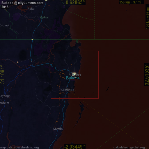
Analysis of Bukoba night lights 2016
Square area 10x10 km:
 0%
0%90-99
0%80-89
0.91%70-79
0.91%60-69
2.49%50-59
1.36%40-49
3.17%30-39
4.76%20-29
1.13%10-19
2.72%0-9
82.54%Square area 50x50 km:
0%90-99
0%80-89
0.03%70-79
0.03%60-69
0.1%50-59
0.05%40-49
0.16%30-39
0.18%20-29
0.04%10-19
0.1%0-9
99.29%Clear (daylight) street map image can be seen on geolist.org.
Map coordinates:
0° 37' 43.1" South, 31° 6' 32.8" East
1° 19' 54" South, 31° 48' 44" East
2° 2' 4.2" South, 32° 30' 55.3" East
Some cities around Bukoba sort by population:
• Nsunga
50.9 km =31.6 mi,  294°
294°
• Nshamba
59.5 km =37 mi,  209°
209°
• Katerero
11.6 km =7.2 mi,  229°
229°
• Kamachumu
38.4 km =23.9 mi, 213°
• Kyaka
44.5 km =27.7 mi,  281°
281°
• Katoro
35.5 km =22.1 mi,  257°
257°
• Muleba
59.1 km =36.7 mi,  197°
197°
• Byakabanda, UG
79.5 km =49.4 mi,  325°
325°
160961 (p: 70,628)
Sources (retrieved 2019-11-25):
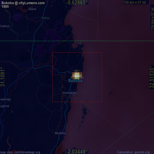
» NASA, Earths city lights 1995
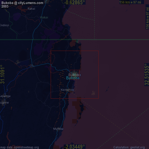
» NASA city lights 2003
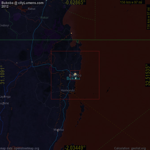
» Earth at Night: Flat Maps 2012, 2016