Dubăsari night lights from space
Night Light of Dubăsari (Transnistria) from space (Moldova) Src. Average luminocity for 10x10km area is 16.5089% and for 50x50km: 2.8106%.
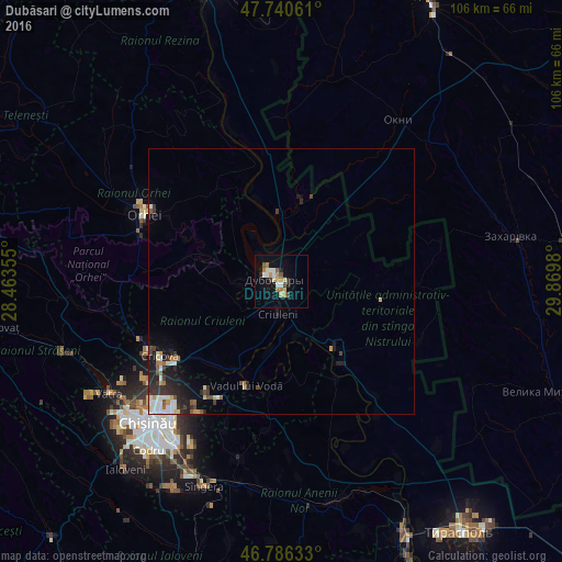
Analysis of Dubăsari night lights 2016
Square area 10x10 km:
 2.08%
2.08%90-99
2.68%80-89
2.38%70-79
1.64%60-69
3.72%50-59
1.34%40-49
1.64%30-39
1.04%20-29
1.79%10-19
7.59%0-9
74.11%Square area 50x50 km:
0.34%90-99
0.52%80-89
0.31%70-79
0.27%60-69
0.4%50-59
0.25%40-49
0.3%30-39
0.58%20-29
0.91%10-19
1.58%0-9
94.54%Clear (daylight) street map image can be seen on geolist.org.
Map coordinates:
47° 44' 26.2" North, 28° 27' 48.8" East
47° 15' 56.2" North, 29° 10' 0" East
46° 47' 10.8" North, 29° 52' 11.3" East
Some cities around Dubăsari sort by population:
• Orhei
29 km =18 mi,  297°
297°
• Hryhoriopol
16 km =9.9 mi,  140°
140°
• Cricova
27 km =16.8 mi,  238°
238°
• Criuleni
5.9 km =3.7 mi,  185°
185°
• Ciorescu
25.8 km =16 mi,  234°
234°
• Stăuceni
29.4 km =18.3 mi, 230°
• Vadul lui Vodă
20.7 km =12.9 mi,  199°
199°
• Cocieri
5.5 km =3.4 mi,  317°
317°
618365 (p: 23,254)
Sources (retrieved 2019-11-25):
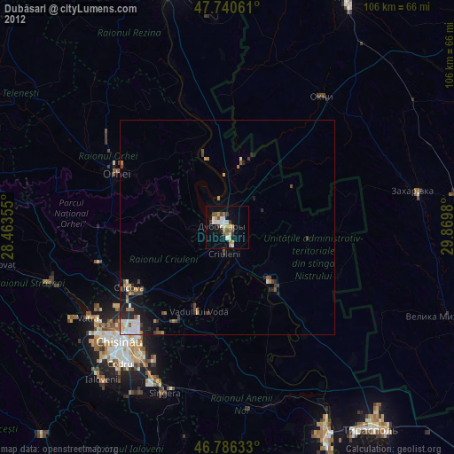
» Earth at Night: Flat Maps 2012, 2016