Yuzhne night lights from space
Night Light of Yuzhne (Odesa) from space (Ukraine) Src. Average luminocity for 10x10km area is 11.4972% and for 50x50km: 3.1891%.
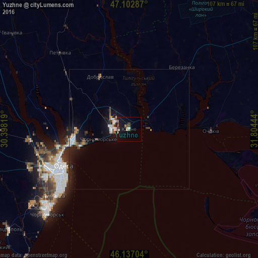
Analysis of Yuzhne night lights 2016
Square area 10x10 km:
 1.56%
1.56%90-99
1.7%80-89
0.71%70-79
1.14%60-69
0.57%50-59
1.14%40-49
2.56%30-39
1.99%20-29
0.28%10-19
17.19%0-9
71.16%Square area 50x50 km:
0.56%90-99
0.49%80-89
0.1%70-79
0.27%60-69
0.35%50-59
0.24%40-49
0.54%30-39
0.44%20-29
0.97%10-19
3.74%0-9
92.31%Clear (daylight) street map image can be seen on geolist.org.
Map coordinates:
47° 6' 10.3" North, 30° 23' 53.5" East
46° 37' 19.6" North, 31° 6' 4.7" East
46° 8' 13.3" North, 31° 48' 16" East
Some cities around Yuzhne sort by population:
• Odessa
32.5 km =20.2 mi,  240°
240°
• Chornomors’k
49.1 km =30.5 mi,  224°
224°
• Ochakiv
34.3 km =21.3 mi,  91°
91°
• Ovidiopol
65.3 km =40.6 mi,  230°
230°
• Berezivka
66.4 km =41.3 mi,  347°
347°
• Teplodar
60.7 km =37.7 mi,  257°
257°
• Usatove
35.2 km =21.9 mi,  253°
253°
• Fontanka
19.5 km =12.1 mi, 251°
687997 (p: 25,000)
Sources (retrieved 2019-11-25):
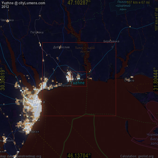
» Earth at Night: Flat Maps 2012, 2016