Heniches’k night lights from space
Night Light of Heniches’k (Kherson) from space (Ukraine) Src. Average luminocity for 10x10km area is 4.2656% and for 50x50km: 0.2984%.
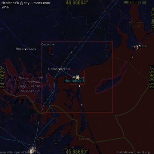
Analysis of Heniches’k night lights 2016
Square area 10x10 km:
 0%
0%90-99
0%80-89
0.57%70-79
0.28%60-69
1.56%50-59
1.85%40-49
0.43%30-39
1.14%20-29
0.71%10-19
0.85%0-9
92.61%Square area 50x50 km:
0%90-99
0.02%80-89
0.04%70-79
0.02%60-69
0.09%50-59
0.1%40-49
0.04%30-39
0.09%20-29
0.07%10-19
0.05%0-9
99.47%Clear (daylight) street map image can be seen on geolist.org.
Map coordinates:
46° 39' 38.3" North, 34° 6' 1" East
46° 10' 33.3" North, 34° 48' 12.2" East
45° 41' 12.8" North, 35° 30' 23.5" East
Some cities around Heniches’k sort by population:
• Dzhankoy
60.6 km =37.7 mi,  211°
211°
• Krasnoperekops’k
81.4 km =50.6 mi,  252°
252°
• Yakymivka
64.3 km =40 mi,  25°
25°
• Krasnogvardeyskoye
84.4 km =52.4 mi, 207°
• Novooleksiyivka
13.7 km =8.5 mi,  293°
293°
• Nizhnegorskiy
81.1 km =50.4 mi,  183°
183°
• Nyzhni Sirohozy
81.5 km =50.6 mi,  336°
336°
• Ivanivka
63.6 km =39.5 mi, 342°
708878 (p: 21,663)
Sources (retrieved 2019-11-25):
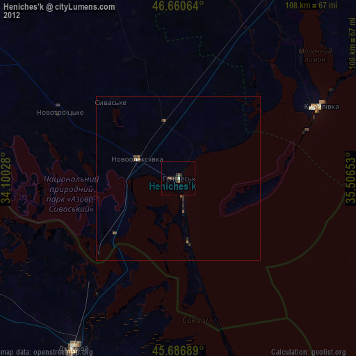
» Earth at Night: Flat Maps 2012, 2016