Dokuchayevs’k night lights from space
Night Light of Dokuchayevs’k (Donetsk) from space (Ukraine) Src. Average luminocity for 10x10km area is 0.3988% and for 50x50km: 3.2926%.
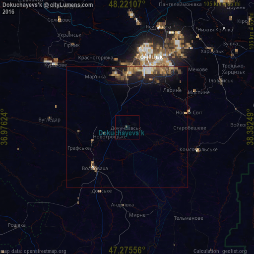
Analysis of Dokuchayevs’k night lights 2016
Square area 10x10 km:
 0%
0%90-99
0%80-89
0%70-79
0%60-69
0%50-59
0.6%40-49
0%30-39
0%20-29
0%10-19
0.3%0-9
99.11%Square area 50x50 km:
0.14%90-99
0.37%80-89
0.37%70-79
0.53%60-69
0.4%50-59
0.74%40-49
0.78%30-39
0.58%20-29
1.16%10-19
2.36%0-9
92.56%Clear (daylight) street map image can be seen on geolist.org.
Map coordinates:
48° 13' 15.9" North, 36° 58' 34.5" East
47° 45' 1.7" North, 37° 40' 45.7" East
47° 16' 32" North, 38° 22' 57" East
Some cities around Dokuchayevs’k sort by population:
• Donetsk
31.7 km =19.7 mi,  16°
16°
• Makiyivka
37.8 km =23.5 mi,  29°
29°
• Volnovakha
21.5 km =13.4 mi,  219°
219°
• Kurakhovo
39.5 km =24.5 mi,  311°
311°
• Mospyne
32.7 km =20.3 mi,  61°
61°
• Mar'yinka
25.3 km =15.7 mi,  329°
329°
• Novyy Svit
26.3 km =16.3 mi,  76°
76°
• Starobesheve
26.3 km =16.3 mi,  90°
90°
709835 (p: 23,900)
Sources (retrieved 2019-11-25):
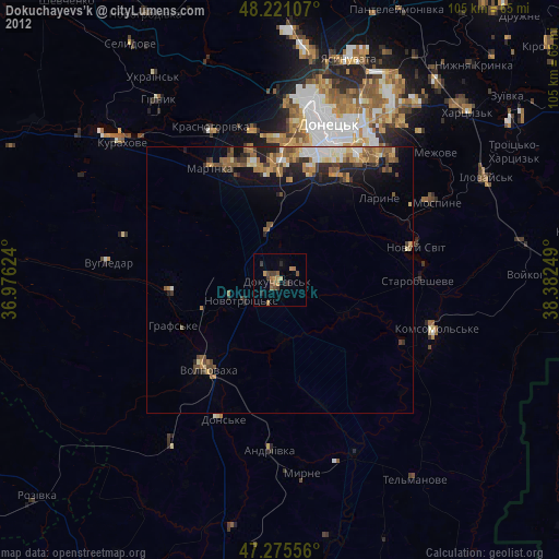
» Earth at Night: Flat Maps 2012, 2016