Starobesheve night lights from space
Night Light of Starobesheve (Donetsk) from space (Ukraine) Src. Average luminocity for 10x10km area is 0.0938% and for 50x50km: 2.4117%.
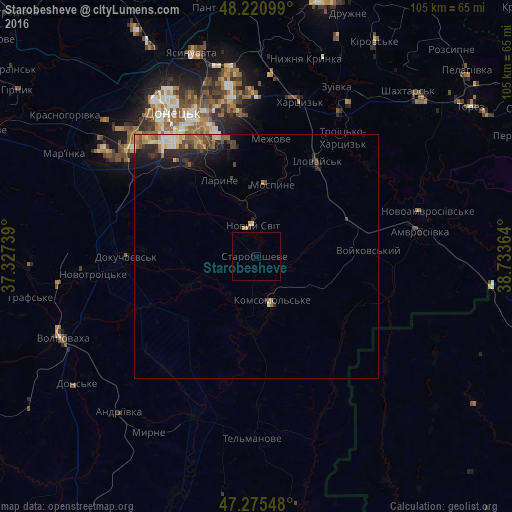
Analysis of Starobesheve night lights 2016
Square area 10x10 km:
 0%
0%90-99
0%80-89
0%70-79
0%60-69
0%50-59
0%40-49
0%30-39
0%20-29
0%10-19
0%0-9
100%Square area 50x50 km:
0.12%90-99
0.33%80-89
0.29%70-79
0.39%60-69
0.33%50-59
0.34%40-49
0.52%30-39
0.44%20-29
1.09%10-19
1.71%0-9
94.45%Clear (daylight) street map image can be seen on geolist.org.
Map coordinates:
48° 13' 15.6" North, 37° 19' 38.6" East
47° 45' 1.4" North, 38° 1' 49.8" East
47° 16' 31.7" North, 38° 44' 1.1" East
Some cities around Starobesheve sort by population:
• Makiyivka
34 km =21.1 mi,  346°
346°
• Khartsyz’k
33.6 km =20.9 mi,  15°
15°
• Dokuchayevs’k
26.3 km =16.3 mi,  270°
270°
• Amvrosiyivka
33.8 km =21 mi,  81°
81°
• Zuhres
33.9 km =21.1 mi,  31°
31°
• Ilovays’k
23.3 km =14.5 mi, 33°
• Mospyne
15.8 km =9.8 mi,  9°
9°
• Novyy Svit
6.2 km =3.9 mi, 353°
692829 (p: 6,917)
Sources (retrieved 2019-11-25):
» Earth at Night: Flat Maps 2012, 2016