Pryluky night lights from space
Night Light of Pryluky (Chernihiv) from space (Ukraine) Src. Average luminocity for 10x10km area is 11.4945% and for 50x50km: 0.5157%.
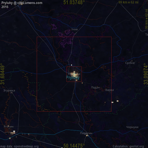
Analysis of Pryluky night lights 2016
Square area 10x10 km:
 0%
0%90-99
0.69%80-89
1.52%70-79
1.24%60-69
1.1%50-59
2.62%40-49
2.2%30-39
5.37%20-29
3.58%10-19
3.58%0-9
78.1%Square area 50x50 km:
0.01%90-99
0.04%80-89
0.06%70-79
0.05%60-69
0.04%50-59
0.12%40-49
0.1%30-39
0.21%20-29
0.16%10-19
0.14%0-9
99.06%Clear (daylight) street map image can be seen on geolist.org.
Map coordinates:
51° 2' 14.9" North, 31° 41' 4.2" East
50° 35' 35.6" North, 32° 23' 15.4" East
50° 8' 41.1" North, 33° 5' 26.7" East
Some cities around Pryluky sort by population:
• Yahotyn
56.3 km =35 mi,  231°
231°
• Pyriatyn
39.9 km =24.8 mi,  167°
167°
• Ichnya
30 km =18.6 mi,  0°
0°
• Hrebinka
53.1 km =33 mi,  176°
176°
• Varva
25.9 km =16.1 mi,  114°
114°
• Ladan
16 km =9.9 mi,  120°
120°
• Zgurovka
43.8 km =27.2 mi,  256°
256°
• Talalayivka
52.2 km =32.4 mi,  321°
321°
696108 (p: 62,823)
Sources (retrieved 2019-11-25):
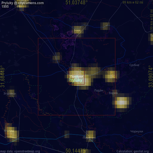
» NASA, Earths city lights 1995
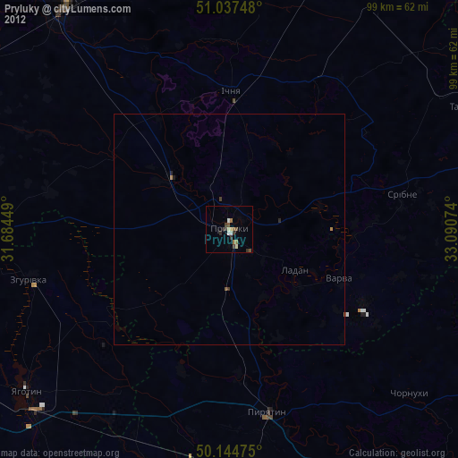
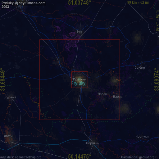
» NASA city lights 2003
» Earth at Night: Flat Maps 2012, 2016