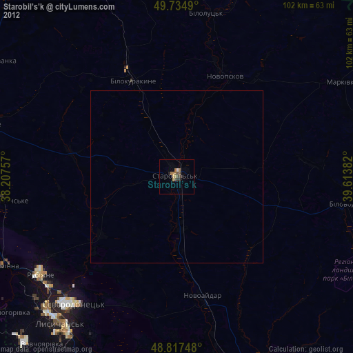
Starobil’s’k night lights from space
Night Light of Starobil’s’k (Luhansk) from space (Ukraine) Src. Average luminocity for 10x10km area is 0.2594% and for 50x50km: 0.0108%.

Analysis of Starobil’s’k night lights 2016
Square area 10x10 km:
 0%
0%90-99
0%80-89
0%70-79
0%60-69
0%50-59
0%40-49
0%30-39
0%20-29
0.53%10-19
0.53%0-9
98.93%Square area 50x50 km:
0%90-99
0%80-89
0%70-79
0%60-69
0%50-59
0%40-49
0%30-39
0%20-29
0.02%10-19
0.02%0-9
99.96%Clear (daylight) street map image can be seen on geolist.org.
Map coordinates:
49° 44' 5.6" North, 38° 12' 27.3" East
49° 16' 42" North, 38° 54' 38.5" East
48° 49' 2.9" North, 39° 36' 49.8" East
Some cities around Starobil’s’k sort by population:
• Syevyerodonets’k
47.7 km =29.6 mi,  219°
219°
• Lysychans’k
53.7 km =33.4 mi, 219°
• Rubizhne
48.6 km =30.2 mi,  232°
232°
• Novopskov
32.5 km =20.2 mi,  23°
23°
• Pryvillya
52.9 km =32.9 mi,  236°
236°
• Bilovods'k
49.9 km =31 mi,  98°
98°
• Bilokurakyne
31.3 km =19.4 mi,  335°
335°
• Markivka
54.9 km =34.1 mi,  60°
60°
692832 (p: 22,000)
Sources (retrieved 2019-11-25):
» Earth at Night: Flat Maps 2012, 2016