Bilovods'k night lights from space
Night Light of Bilovods'k (Luhansk) from space (Ukraine) Src. Average luminocity for 10x10km area is 0% and for 50x50km: 0%.
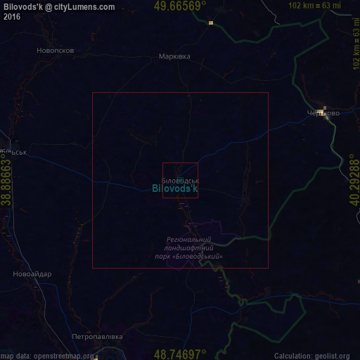
Analysis of Bilovods'k night lights 2016
Square area 10x10 km:
 0%
0%90-99
0%80-89
0%70-79
0%60-69
0%50-59
0%40-49
0%30-39
0%20-29
0%10-19
0%0-9
100%Square area 50x50 km:
0%90-99
0%80-89
0%70-79
0%60-69
0%50-59
0%40-49
0%30-39
0%20-29
0%10-19
0%0-9
100%Clear (daylight) street map image can be seen on geolist.org.
Map coordinates:
49° 39' 56.5" North, 38° 53' 11.9" East
49° 12' 30.5" North, 39° 35' 23.1" East
48° 44' 49.1" North, 40° 17' 34.4" East
Some cities around Bilovods'k sort by population:
• Starobil’s’k
49.9 km =31 mi,  278°
278°
• Shchastya
58.3 km =36.2 mi,  206°
206°
• Kantemirovka, RU
59 km =36.7 mi,  19°
19°
• Stanytsya Luhans’ka
62.1 km =38.6 mi,  187°
187°
• Chertkovo, RU
44.9 km =27.9 mi,  64°
64°
• Novopskov
52.2 km =32.4 mi,  316°
316°
• Markivka
35 km =21.7 mi,  357°
357°
• Milove
43.5 km =27 mi, 64°
712521 (p: 8,626)
Sources (retrieved 2019-11-25):
» Earth at Night: Flat Maps 2012, 2016