Markivka night lights from space
Night Light of Markivka (Luhansk) from space (Ukraine) Src. Average luminocity for 10x10km area is 0% and for 50x50km: 0.0939%.
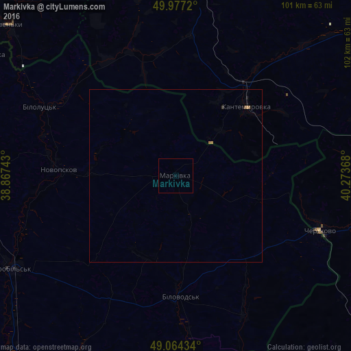
Analysis of Markivka night lights 2016
Square area 10x10 km:
 0%
0%90-99
0%80-89
0%70-79
0%60-69
0%50-59
0%40-49
0%30-39
0%20-29
0%10-19
0%0-9
100%Square area 50x50 km:
0%90-99
0%80-89
0%70-79
0.05%60-69
0.02%50-59
0.02%40-49
0.02%30-39
0.02%20-29
0.01%10-19
0.02%0-9
99.84%Clear (daylight) street map image can be seen on geolist.org.
Map coordinates:
49° 58' 37.9" North, 38° 52' 2.7" East
49° 31' 22.4" North, 39° 34' 14" East
49° 3' 51.6" North, 40° 16' 25.2" East
Some cities around Markivka sort by population:
• Starobil’s’k
54.9 km =34.1 mi,  240°
240°
• Kantemirovka, RU
29.3 km =18.2 mi,  45°
45°
• Chertkovo, RU
44.4 km =27.6 mi,  110°
110°
• Novopskov
34.8 km =21.6 mi,  274°
274°
• Bilovods'k
35 km =21.7 mi,  177°
177°
• Bilokurakyne
60.6 km =37.7 mi, 271°
• Mitrofanovka, RU
50.6 km =31.4 mi,  10°
10°
• Milove
43.8 km =27.2 mi, 112°
701792 (p: 7,087)
Sources (retrieved 2019-11-25):
» Earth at Night: Flat Maps 2012, 2016