Rubizhne night lights from space
Night Light of Rubizhne (Luhansk) from space (Ukraine) Src. Average luminocity for 10x10km area is 8.9598% and for 50x50km: 2.2997%.
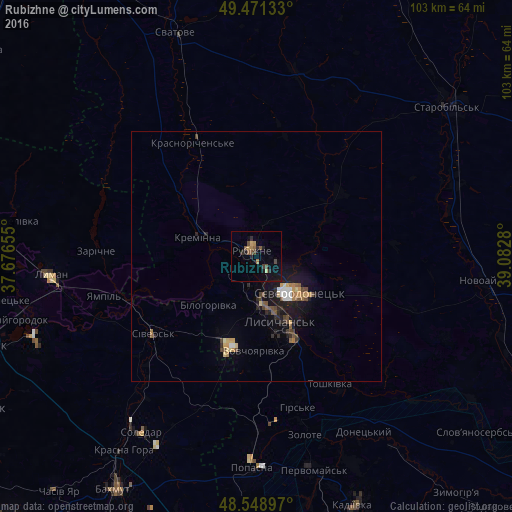
Analysis of Rubizhne night lights 2016
Square area 10x10 km:
 0%
0%90-99
0%80-89
1.34%70-79
1.04%60-69
1.19%50-59
2.53%40-49
2.38%30-39
1.49%20-29
3.13%10-19
4.02%0-9
82.89%Square area 50x50 km:
0.19%90-99
0.17%80-89
0.25%70-79
0.31%60-69
0.31%50-59
0.38%40-49
0.52%30-39
0.25%20-29
0.55%10-19
1.93%0-9
95.15%Clear (daylight) street map image can be seen on geolist.org.
Map coordinates:
49° 28' 16.8" North, 37° 40' 35.6" East
49° 0' 44.2" North, 38° 22' 46.8" East
48° 32' 56.3" North, 39° 4' 58.1" East
Some cities around Rubizhne sort by population:
• Syevyerodonets’k
10.8 km =6.7 mi,  131°
131°
• Lysychans’k
12.8 km =8 mi,  159°
159°
• Lyman
42.2 km =26.2 mi,  266°
266°
• Popasna
42.1 km =26.2 mi,  180°
180°
• Kreminna
12.5 km =7.8 mi,  289°
289°
• Sivers’k
26 km =16.2 mi,  231°
231°
• Hirs’ke
32 km =19.9 mi, 164°
• Pryvillya
5.5 km =3.4 mi, 273°
695274 (p: 62,993)
Sources (retrieved 2019-11-25):
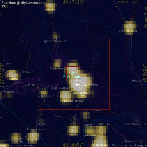
» NASA, Earths city lights 1995
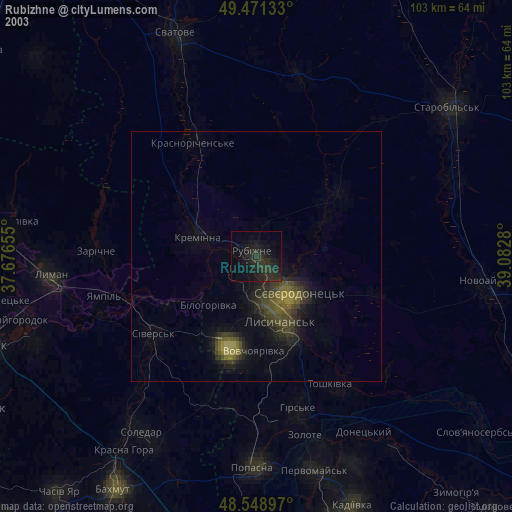
» NASA city lights 2003
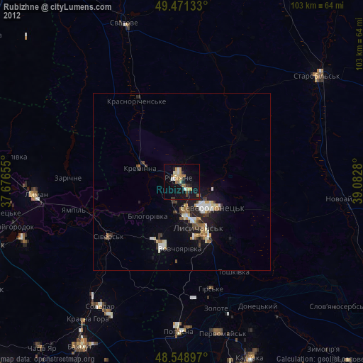
» Earth at Night: Flat Maps 2012, 2016