Skvyra night lights from space
Night Light of Skvyra (Kyiv) from space (Ukraine) Src. Average luminocity for 10x10km area is 0.2393% and for 50x50km: 0.0694%.
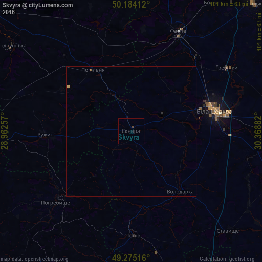
Analysis of Skvyra night lights 2016
Square area 10x10 km:
 0%
0%90-99
0%80-89
0%70-79
0%60-69
0%50-59
0%40-49
0.53%30-39
0%20-29
0%10-19
0%0-9
99.47%Square area 50x50 km:
0%90-99
0%80-89
0.02%70-79
0.02%60-69
0%50-59
0.02%40-49
0.02%30-39
0.01%20-29
0.01%10-19
0%0-9
99.89%Clear (daylight) street map image can be seen on geolist.org.
Map coordinates:
50° 11' 2.8" North, 28° 57' 45.3" East
49° 43' 54.4" North, 29° 39' 56.5" East
49° 16' 30.6" North, 30° 22' 7.8" East
Some cities around Skvyra sort by population:
• Bila Tserkva
33.2 km =20.6 mi,  74°
74°
• Fastiv
42.4 km =26.3 mi,  25°
25°
• Tetiiv
39.5 km =24.5 mi,  180°
180°
• Uzyn
54.8 km =34.1 mi,  78°
78°
• Pohrebyshche
39.8 km =24.7 mi,  226°
226°
• Andrushivka
56.5 km =35.1 mi,  304°
304°
• Volodarka
29.1 km =18.1 mi,  142°
142°
• Popilnia
29 km =18 mi,  328°
328°
693615 (p: 17,452)
Sources (retrieved 2019-11-25):
» Earth at Night: Flat Maps 2012, 2016