Uzyn night lights from space
Night Light of Uzyn (Kyiv) from space (Ukraine) Src. Average luminocity for 10x10km area is 0.2674% and for 50x50km: 1.234%.
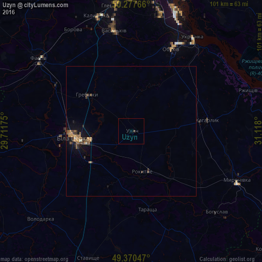
Analysis of Uzyn night lights 2016
Square area 10x10 km:
 0%
0%90-99
0%80-89
0%70-79
0%60-69
0%50-59
0%40-49
0.53%30-39
0%20-29
0%10-19
0%0-9
99.47%Square area 50x50 km:
0.02%90-99
0.07%80-89
0.02%70-79
0.3%60-69
0.31%50-59
0.29%40-49
0.27%30-39
0.24%20-29
0.17%10-19
1.04%0-9
97.28%Clear (daylight) street map image can be seen on geolist.org.
Map coordinates:
50° 16' 39.6" North, 29° 42' 42.3" East
49° 49' 34.3" North, 30° 24' 53.5" East
49° 22' 13.7" North, 31° 7' 4.8" East
Some cities around Uzyn sort by population:
• Bila Tserkva
21.8 km =13.5 mi,  265°
265°
• Vasylkiv
40.8 km =25.4 mi,  349°
349°
• Obukhiv
34.4 km =21.4 mi,  25°
25°
• Ukrainka
42.5 km =26.4 mi, 33°
• Kaharlyk
29.9 km =18.6 mi,  82°
82°
• Tarashcha
30.3 km =18.8 mi,  169°
169°
• Myronivka
44.8 km =27.8 mi,  114°
114°
• Borova
44.8 km =27.8 mi,  330°
330°
690545 (p: 12,726)
Sources (retrieved 2019-11-25):
» Earth at Night: Flat Maps 2012, 2016