Pohrebyshche night lights from space
Night Light of Pohrebyshche (Vinnyts'ka) from space (Ukraine) Src. Average luminocity for 10x10km area is 0% and for 50x50km: 0%.
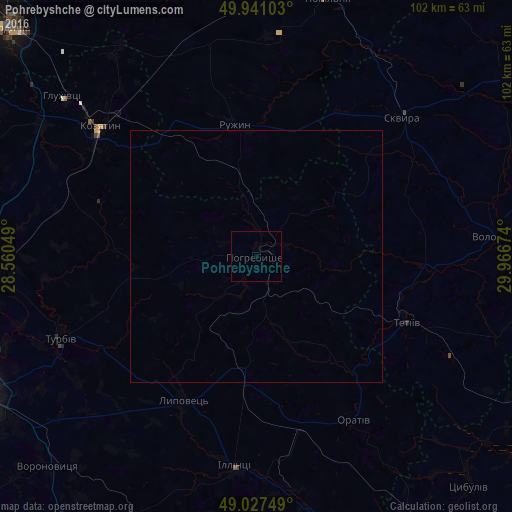
Analysis of Pohrebyshche night lights 2016
Square area 10x10 km:
 0%
0%90-99
0%80-89
0%70-79
0%60-69
0%50-59
0%40-49
0%30-39
0%20-29
0%10-19
0%0-9
100%Square area 50x50 km:
0%90-99
0%80-89
0%70-79
0%60-69
0%50-59
0%40-49
0%30-39
0%20-29
0%10-19
0%0-9
100%Clear (daylight) street map image can be seen on geolist.org.
Map coordinates:
49° 56' 27.7" North, 28° 33' 37.8" East
49° 29' 11" North, 29° 15' 49" East
49° 1' 39" North, 29° 58' 0.3" East
Some cities around Pohrebyshche sort by population:
• Kozyatyn
40 km =24.9 mi,  309°
309°
• Kalynivka
53.4 km =33.2 mi,  266°
266°
• Skvyra
39.8 km =24.7 mi,  46°
46°
• Tetiiv
31.5 km =19.6 mi,  112°
112°
• Illintsi
42.6 km =26.5 mi,  184°
184°
• Volodarka
47 km =29.2 mi,  84°
84°
• Turbiv
42.2 km =26.2 mi,  248°
248°
• Popilnia
53.7 km =33.4 mi,  14°
14°
696771 (p: 10,354)
Sources (retrieved 2019-11-25):
» Earth at Night: Flat Maps 2012, 2016