Popilnia night lights from space
Night Light of Popilnia (Zhytomyr) from space (Ukraine) Src. Average luminocity for 10x10km area is 0.3361% and for 50x50km: 0.0641%.
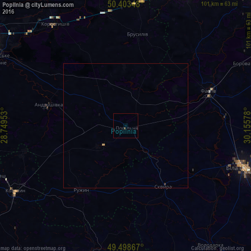
Analysis of Popilnia night lights 2016
Square area 10x10 km:
 0%
0%90-99
0%80-89
0%70-79
0%60-69
0%50-59
0.56%40-49
0%30-39
0%20-29
0%10-19
0%0-9
99.44%Square area 50x50 km:
0%90-99
0%80-89
0.02%70-79
0.02%60-69
0%50-59
0.02%40-49
0.02%30-39
0%20-29
0%10-19
0.02%0-9
99.89%Clear (daylight) street map image can be seen on geolist.org.
Map coordinates:
50° 24' 12.5" North, 28° 44' 58.3" East
49° 57' 11.5" North, 29° 27' 9.5" East
49° 29' 55.2" North, 30° 9' 20.8" East
Some cities around Popilnia sort by population:
• Bila Tserkva
49.9 km =31 mi,  108°
108°
• Fastiv
36 km =22.4 mi,  67°
67°
• Kozyatyn
51.7 km =32.1 mi,  239°
239°
• Korostyshiv
49.4 km =30.7 mi,  325°
325°
• Skvyra
29 km =18 mi,  148°
148°
• Andrushivka
31.9 km =19.8 mi,  284°
284°
• Stavyshche
50 km =31.1 mi,  6°
6°
• Brusyliv
37.2 km =23.1 mi, 8°
696557 (p: 6,109)
Sources (retrieved 2019-11-25):
» Earth at Night: Flat Maps 2012, 2016