Semenivka night lights from space
Night Light of Semenivka (Chernihiv) from space (Ukraine) Src. Average luminocity for 10x10km area is 0% and for 50x50km: 0%.
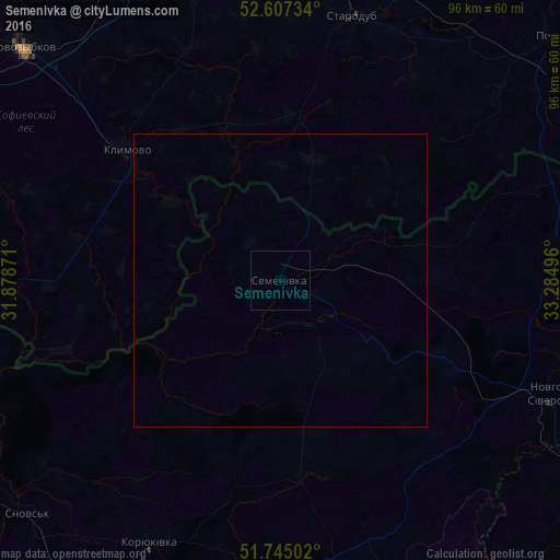
Analysis of Semenivka night lights 2016
Square area 10x10 km:
 0%
0%90-99
0%80-89
0%70-79
0%60-69
0%50-59
0%40-49
0%30-39
0%20-29
0%10-19
0%0-9
100%Square area 50x50 km:
0%90-99
0%80-89
0%70-79
0%60-69
0%50-59
0%40-49
0%30-39
0%20-29
0%10-19
0%0-9
100%Clear (daylight) street map image can be seen on geolist.org.
Map coordinates:
52° 36' 26.4" North, 31° 52' 43.4" East
52° 10' 41.8" North, 32° 34' 54.6" East
51° 44' 42.1" North, 33° 17' 5.9" East
Some cities around Semenivka sort by population:
• Novozybkov, RU
59.9 km =37.2 mi,  312°
312°
• Starodub, RU
46.8 km =29.1 mi,  15°
15°
• Klimovo, RU
34.8 km =21.6 mi, 310°
• Novhorod-Sivers’kyy
50.2 km =31.2 mi,  112°
112°
• Koryukivka
50.9 km =31.6 mi,  206°
206°
• Shchors
59.2 km =36.8 mi,  227°
227°
• Pogar, RU
62.1 km =38.6 mi,  47°
47°
• Zlynka, RU
63.7 km =39.6 mi,  295°
295°
694590 (p: 9,320)
Sources (retrieved 2019-11-25):
» Earth at Night: Flat Maps 2012, 2016