Starodub night lights from space
Night Light of Starodub (Bryansk Oblast) from space (Russia) Src. Average luminocity for 10x10km area is 0.287% and for 50x50km: 0.0665%.
Analysis of Starodub night lights 2016
Square area 10x10 km:
 0%
0%90-99
0%80-89
0%70-79
0%60-69
0%50-59
0%40-49
0%30-39
0.4%20-29
0.26%10-19
0.4%0-9
98.94%Square area 50x50 km:
0.01%90-99
0.03%80-89
0%70-79
0%60-69
0%50-59
0%40-49
0%30-39
0.03%20-29
0.02%10-19
0.04%0-9
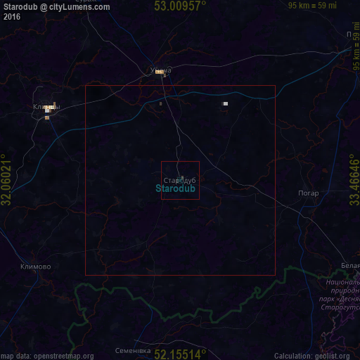
99.87%Clear (daylight) street map image can be seen on geolist.org.
Map coordinates:
53° 0' 34.5" North, 32° 3' 36.8" East
52° 35' 4" North, 32° 45' 48" East
52° 9' 18.5" North, 33° 27' 59.3" East
Some cities around Starodub sort by population:
• Klintsy
40.4 km =25.1 mi,  298°
298°
• Novozybkov
56.7 km =35.2 mi,  264°
264°
• Unecha
29.7 km =18.5 mi,  348°
348°
• Klimovo
44.8 km =27.8 mi,  239°
239°
• Surazh
54.2 km =33.7 mi,  332°
332°
• Pogar
33.7 km =20.9 mi,  95°
95°
• Semenivka, UA
46.8 km =29.1 mi,  195°
195°
• Mglin
53.1 km =33 mi,  6°
6°
488852 (p: 18,539)
Sources (retrieved 2019-11-25):
» Earth at Night: Flat Maps 2012, 2016