Pogar night lights from space
Night Light of Pogar (Bryansk Oblast) from space (Russia) Src. Average luminocity for 10x10km area is 0% and for 50x50km: 0.0538%.
Analysis of Pogar night lights 2016
Square area 10x10 km:
 0%
0%90-99
0%80-89
0%70-79
0%60-69
0%50-59
0%40-49
0%30-39
0%20-29
0%10-19
0%0-9
100%Square area 50x50 km:
0.01%90-99
0.03%80-89
0%70-79
0%60-69
0%50-59
0%40-49
0%30-39
0%20-29
0.02%10-19
0.02%0-9
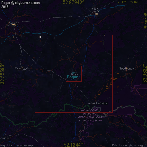
99.92%Clear (daylight) street map image can be seen on geolist.org.
Map coordinates:
52° 58' 45.9" North, 32° 33' 21.4" East
52° 33' 14.4" North, 33° 15' 32.7" East
52° 7' 27.8" North, 33° 57' 43.9" East
Some cities around Pogar sort by population:
• Unecha
51.1 km =31.8 mi,  309°
309°
• Starodub
33.7 km =20.9 mi,  275°
275°
• Trubchevsk
34.3 km =21.3 mi,  85°
85°
• Pochep
44.1 km =27.4 mi,  16°
16°
• Novhorod-Sivers’kyy, UA
61 km =37.9 mi,  179°
179°
• Suzëmka
61.4 km =38.2 mi,  115°
115°
• Semenivka, UA
62.1 km =38.6 mi,  227°
227°
• Mglin
62.6 km =38.9 mi,  333°
333°
507875 (p: 11,242)
Sources (retrieved 2019-11-25):
» Earth at Night: Flat Maps 2012, 2016