Novhorod-Sivers’kyy night lights from space
Night Light of Novhorod-Sivers’kyy (Chernihiv) from space (Ukraine) Src. Average luminocity for 10x10km area is 0.1326% and for 50x50km: 0.2545%.
Analysis of Novhorod-Sivers’kyy night lights 2016
Square area 10x10 km:
 0%
0%90-99
0%80-89
0%70-79
0%60-69
0%50-59
0%40-49
0%30-39
0%20-29
0.51%10-19
0%0-9
99.49%Square area 50x50 km:
0.03%90-99
0.02%80-89
0%70-79
0%60-69
0.04%50-59
0.04%40-49
0.11%30-39
0.11%20-29
0.13%10-19
0.03%0-9
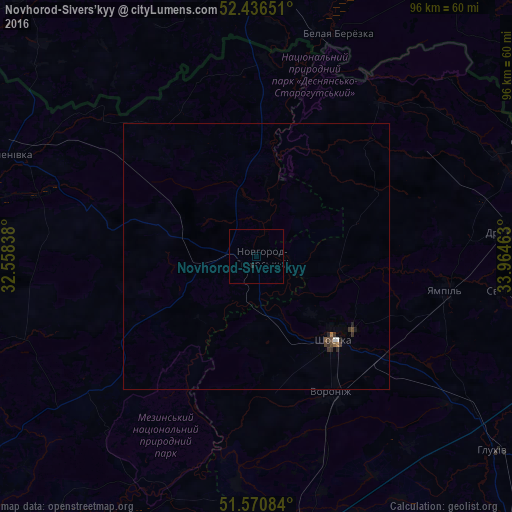
99.49%Clear (daylight) street map image can be seen on geolist.org.
Map coordinates:
52° 26' 11.4" North, 32° 33' 30.2" East
52° 0' 20.8" North, 33° 15' 41.4" East
51° 34' 15" North, 33° 57' 52.7" East
Some cities around Novhorod-Sivers’kyy sort by population:
• Shostka
21.4 km =13.3 mi,  138°
138°
• Hlukhiv
57.9 km =36 mi,  128°
128°
• Krolevets’
51.6 km =32.1 mi,  170°
170°
• Semenivka
50.2 km =31.2 mi,  292°
292°
• Yampil’
36.6 km =22.7 mi,  100°
100°
• Seredyna-Buda
56.7 km =35.2 mi,  68°
68°
• Korop
53.1 km =33 mi,  203°
203°
• Druzhba
47 km =29.2 mi,  84°
84°
699753 (p: 14,400)
Sources (retrieved 2019-11-25):
» Earth at Night: Flat Maps 2012, 2016