Klimovo night lights from space
Night Light of Klimovo (Bryansk Oblast) from space (Russia) Src. Average luminocity for 10x10km area is 0% and for 50x50km: 0.2313%.
Analysis of Klimovo night lights 2016
Square area 10x10 km:
 0%
0%90-99
0%80-89
0%70-79
0%60-69
0%50-59
0%40-49
0%30-39
0%20-29
0%10-19
0%0-9
100%Square area 50x50 km:
0%90-99
0%80-89
0%70-79
0.03%60-69
0.11%50-59
0.05%40-49
0.07%30-39
0.04%20-29
0.07%10-19
0.09%0-9
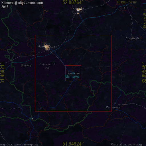
99.54%Clear (daylight) street map image can be seen on geolist.org.
Map coordinates:
52° 48' 27.5" North, 31° 29' 21.2" East
52° 22' 49.9" North, 32° 11' 32.4" East
51° 56' 57.3" North, 32° 53' 43.7" East
Some cities around Klimovo sort by population:
• Klintsy
42.3 km =26.3 mi,  4°
4°
• Novozybkov
25.2 km =15.7 mi,  314°
314°
• Unecha
61.1 km =38 mi,  32°
32°
• Dobrush, BY
59 km =36.7 mi,  273°
273°
• Starodub
44.8 km =27.8 mi,  59°
59°
• Shchors, UA
64.7 km =40.2 mi,  195°
195°
• Semenivka, UA
34.8 km =21.6 mi,  130°
130°
• Zlynka
31.3 km =19.4 mi,  279°
279°
547591 (p: 14,482)
Sources (retrieved 2019-11-25):
» Earth at Night: Flat Maps 2012, 2016