Koryukivka night lights from space
Night Light of Koryukivka (Chernihiv) from space (Ukraine) Src. Average luminocity for 10x10km area is 0.1755% and for 50x50km: 0.0069%.
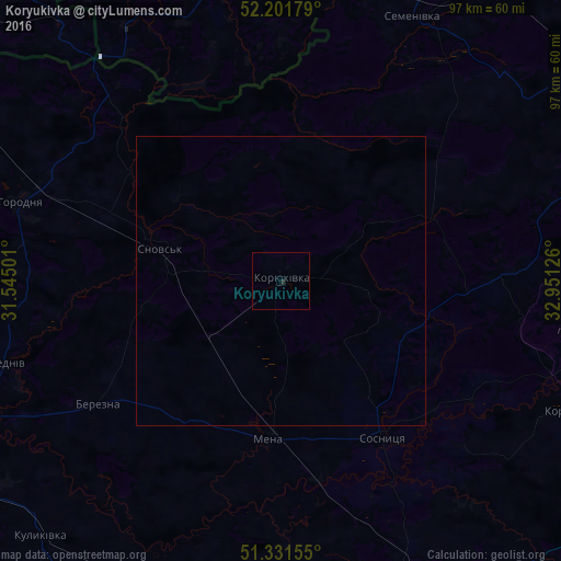
Analysis of Koryukivka night lights 2016
Square area 10x10 km:
 0%
0%90-99
0%80-89
0%70-79
0%60-69
0%50-59
0%40-49
0%30-39
0%20-29
0.54%10-19
0%0-9
99.46%Square area 50x50 km:
0%90-99
0%80-89
0%70-79
0%60-69
0%50-59
0%40-49
0%30-39
0%20-29
0.02%10-19
0%0-9
99.98%Clear (daylight) street map image can be seen on geolist.org.
Map coordinates:
52° 12' 6.4" North, 31° 32' 42" East
51° 46' 7.6" North, 32° 14' 53.3" East
51° 19' 53.6" North, 32° 57' 4.5" East
Some cities around Koryukivka sort by population:
• Horodnya
46.7 km =29 mi,  286°
286°
• Mena
27.6 km =17.1 mi,  184°
184°
• Shchors
21.6 km =13.4 mi,  284°
284°
• Borzna
58.5 km =36.4 mi,  167°
167°
• Semenivka
50.9 km =31.6 mi,  26°
26°
• Sosnytsya
32.3 km =20.1 mi,  147°
147°
• Korop
53.9 km =33.5 mi,  114°
114°
• Berezna
38.8 km =24.1 mi,  235°
235°
704839 (p: 14,215)
Sources (retrieved 2019-11-25):
» Earth at Night: Flat Maps 2012, 2016