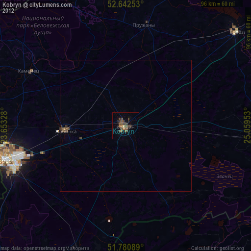
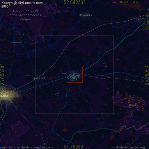
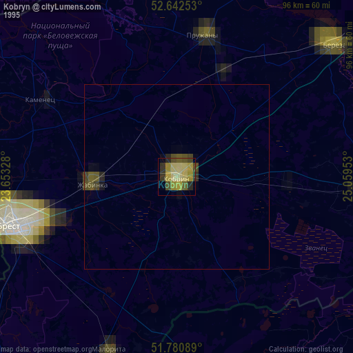
Kobryn night lights from space
Night Light of Kobryn (Brest) from space (Belarus) Src. Average luminocity for 10x10km area is 7.5556% and for 50x50km: 0.4196%.

Analysis of Kobryn night lights 2016
Square area 10x10 km:
 0%
0%90-99
0%80-89
1.72%70-79
1.46%60-69
1.85%50-59
1.72%40-49
1.19%30-39
1.06%20-29
1.06%10-19
1.72%0-9
88.23%Square area 50x50 km:
0%90-99
0.02%80-89
0.07%70-79
0.08%60-69
0.07%50-59
0.11%40-49
0.05%30-39
0.13%20-29
0.04%10-19
0.11%0-9
99.32%Clear (daylight) street map image can be seen on geolist.org.
Map coordinates:
52° 38' 33.1" North, 23° 39' 11.8" East
52° 12' 49.7" North, 24° 21' 23" East
51° 46' 51.2" North, 25° 3' 34.3" East
Some cities around Kobryn sort by population:
• Brest
47.4 km =29.5 mi,  254°
254°
• Byaroza
55.1 km =34.2 mi,  50°
50°
• Pruzhany
38.7 km =24 mi,  10°
10°
• Drahichyn
54.8 km =34.1 mi,  93°
93°
• Zhabinka
23.6 km =14.7 mi,  265°
265°
• Malaryta
50.9 km =31.6 mi,  202°
202°
• Kamyanyets
42.5 km =26.4 mi,  299°
299°
• Terespol, PL
52.8 km =32.8 mi, 253°
627145 (p: 50,691)
Sources (retrieved 2019-11-25):
» NASA, Earths city lights 1995
» NASA city lights 2003
» Earth at Night: Flat Maps 2012, 2016