Hlukhiv night lights from space
Night Light of Hlukhiv (Sumy) from space (Ukraine) Src. Average luminocity for 10x10km area is 0.395% and for 50x50km: 0.0364%.
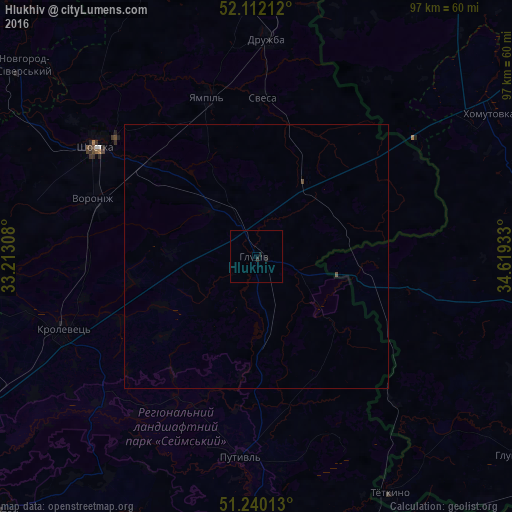
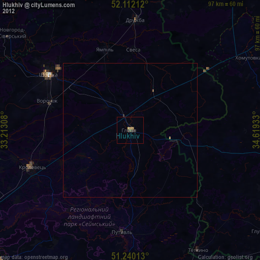
Analysis of Hlukhiv night lights 2016
Square area 10x10 km:
 0%
0%90-99
0%80-89
0%70-79
0%60-69
0%50-59
0%40-49
0%30-39
0%20-29
0.84%10-19
0.84%0-9
98.32%Square area 50x50 km:
0%90-99
0%80-89
0%70-79
0%60-69
0%50-59
0%40-49
0.04%30-39
0%20-29
0.03%10-19
0.03%0-9
99.89%Clear (daylight) street map image can be seen on geolist.org.
Map coordinates:
52° 6' 43.6" North, 33° 12' 47.1" East
51° 40' 41.6" North, 33° 54' 58.3" East
51° 14' 24.5" North, 34° 37' 9.6" East
Some cities around Hlukhiv sort by population:
• Shostka
37 km =23 mi,  303°
303°
• Krolevets’
39.5 km =24.5 mi,  248°
248°
• Putyvl’
38 km =23.6 mi,  184°
184°
• Ryl’sk, RU
54.3 km =33.7 mi,  103°
103°
• Buryn’
53.6 km =33.3 mi,  186°
186°
• Yampil’
31.2 km =19.4 mi,  343°
343°
• Seredyna-Buda
57.4 km =35.7 mi,  8°
8°
• Druzhba
40.9 km =25.4 mi,  2°
2°
707758 (p: 35,387)
Sources (retrieved 2019-11-25):
» Earth at Night: Flat Maps 2012, 2016