Konotop night lights from space
Night Light of Konotop (Sumy) from space (Ukraine) Src. Average luminocity for 10x10km area is 4.7283% and for 50x50km: 0.1952%.
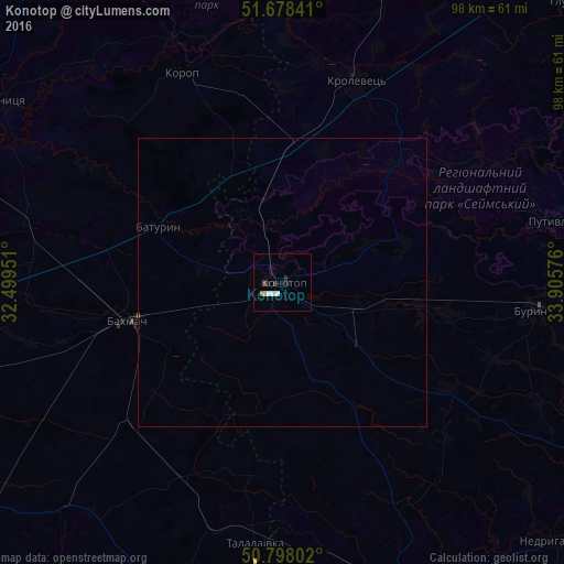
Analysis of Konotop night lights 2016
Square area 10x10 km:
 1.4%
1.4%90-99
0.84%80-89
0.56%70-79
0%60-69
0.56%50-59
0%40-49
0.56%30-39
0.56%20-29
1.12%10-19
1.26%0-9
93.14%Square area 50x50 km:
0.05%90-99
0.03%80-89
0.02%70-79
0%60-69
0.02%50-59
0.01%40-49
0.02%30-39
0.02%20-29
0.04%10-19
0.05%0-9
99.72%Clear (daylight) street map image can be seen on geolist.org.
Map coordinates:
51° 40' 42.3" North, 32° 29' 58.2" East
51° 14' 25.2" North, 33° 12' 9.5" East
50° 47' 52.9" North, 33° 54' 20.7" East
Some cities around Konotop sort by population:
• Romny
57.6 km =35.8 mi,  160°
160°
• Krolevets’
36.4 km =22.6 mi,  20°
20°
• Bakhmach
26.5 km =16.5 mi,  255°
255°
• Putyvl’
47.7 km =29.6 mi,  76°
76°
• Buryn’
44.3 km =27.5 mi,  95°
95°
• Borzna
54 km =33.6 mi,  271°
271°
• Sosnytsya
58.1 km =36.1 mi,  302°
302°
• Korop
40 km =24.9 mi,  334°
334°
705135 (p: 91,798)
Sources (retrieved 2019-11-25):
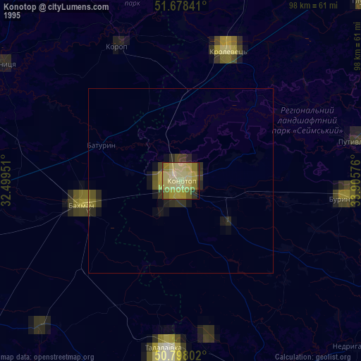
» NASA, Earths city lights 1995
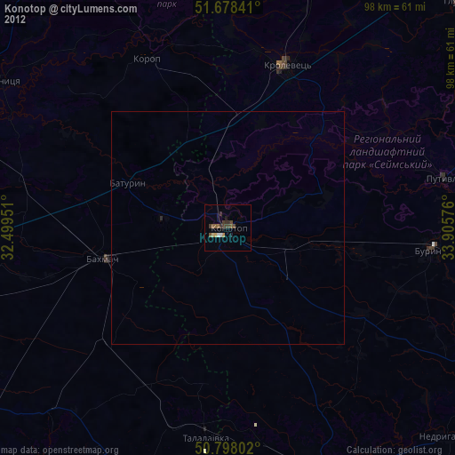
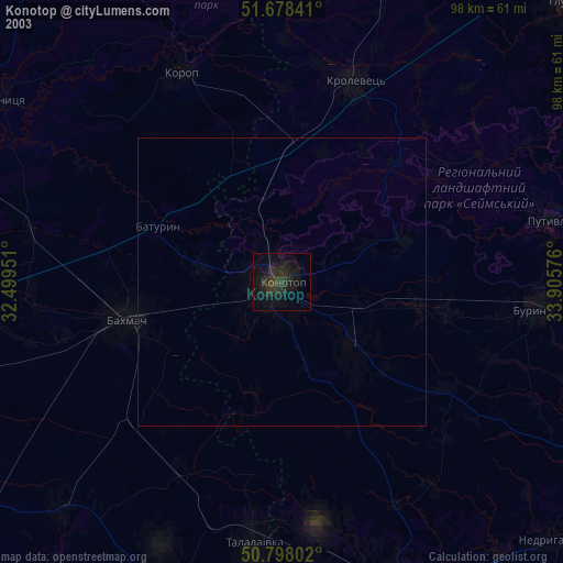
» NASA city lights 2003
» Earth at Night: Flat Maps 2012, 2016