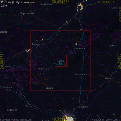
Pochaiv night lights from space
Night Light of Pochaiv (Ternopil) from space (Ukraine) Src. Average luminocity for 10x10km area is 0% and for 50x50km: 0.0797%.
Analysis of Pochaiv night lights 2016
Square area 10x10 km:
 0%
0%90-99
0%80-89
0%70-79
0%60-69
0%50-59
0%40-49
0%30-39
0%20-29
0%10-19
0%0-9
100%Square area 50x50 km:
0%90-99
0%80-89
0.02%70-79
0.02%60-69
0.01%50-59
0.01%40-49
0.02%30-39
0%20-29
0.04%10-19
0.02%0-9
99.84%Clear (daylight) street map image can be seen on geolist.org.
Map coordinates:
50° 27' 17.6" North, 24° 48' 31.4" East
50° 0' 18.3" North, 25° 30' 42.6" East
49° 33' 3.8" North, 26° 12' 53.9" East
Some cities around Pochaiv sort by population:
• Dubno
48.5 km =30.1 mi,  19°
19°
• Brody
27.4 km =17 mi,  289°
289°
• Zolochiv
49.5 km =30.8 mi,  243°
243°
• Kremenets
18.3 km =11.4 mi,  56°
56°
• Zbarazh
42.4 km =26.3 mi,  153°
153°
• Radyvyliv
23 km =14.3 mi,  307°
307°
• Lanivtsi
44.3 km =27.5 mi,  110°
110°
• Zboriv
46.2 km =28.7 mi,  215°
215°
697006 (p: 8,075)
Sources (retrieved 2019-11-25):
» Earth at Night: Flat Maps 2012, 2016