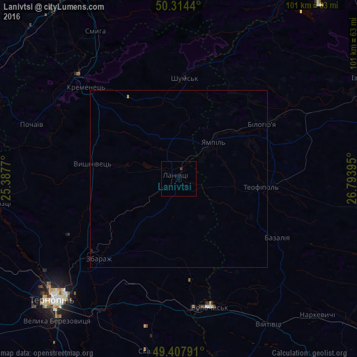
Lanivtsi night lights from space
Night Light of Lanivtsi (Ternopil) from space (Ukraine) Src. Average luminocity for 10x10km area is 0.2513% and for 50x50km: 0.0332%.
Analysis of Lanivtsi night lights 2016
Square area 10x10 km:
 0%
0%90-99
0%80-89
0%70-79
0%60-69
0%50-59
0%40-49
0.53%30-39
0%20-29
0%10-19
0%0-9
99.47%Square area 50x50 km:
0%90-99
0%80-89
0%70-79
0.02%60-69
0%50-59
0%40-49
0.02%30-39
0%20-29
0.01%10-19
0.01%0-9
99.93%Clear (daylight) street map image can be seen on geolist.org.
Map coordinates:
50° 18' 51.8" North, 25° 23' 15.7" East
49° 51' 47.8" North, 26° 5' 27" East
49° 24' 28.5" North, 26° 47' 38.2" East
Some cities around Lanivtsi sort by population:
• Ternopil
49.9 km =31 mi,  226°
226°
• Netishyn
66 km =41 mi,  36°
36°
• Kremenets
36.9 km =22.9 mi,  314°
314°
• Izyaslav
59.5 km =37 mi,  61°
61°
• Ostroh
60 km =37.3 mi,  30°
30°
• Zbarazh
31.7 km =19.7 mi, 225°
• Radyvyliv
66.6 km =41.4 mi,  296°
296°
• Pochaiv
44.3 km =27.5 mi,  290°
290°
703397 (p: 8,357)
Sources (retrieved 2019-11-25):
» Earth at Night: Flat Maps 2012, 2016