Brody night lights from space
Night Light of Brody (Lviv) from space (Ukraine) Src. Average luminocity for 10x10km area is 1.5294% and for 50x50km: 0.1059%.

Analysis of Brody night lights 2016
Square area 10x10 km:
100  0%
0%
90-99 0%
80-89 0%
70-79 0%
60-69 0.14%
50-59 1.26%
40-49 0.84%
30-39 0%
20-29 0.98%
10-19 0.14%
0-9 96.64%
0%90-99
0%80-89
0%70-79
0%60-69
0.14%50-59
1.26%40-49
0.84%30-39
0%20-29
0.98%10-19
0.14%0-9
96.64%Square area 50x50 km:
100 0%
90-99 0%
80-89 0.02%
70-79 0.02%
60-69 0.01%
50-59 0.05%
40-49 0.03%
30-39 0%
20-29 0.06%
10-19 0.02%
0-9 99.79%
0%90-99
0%80-89
0.02%70-79
0.02%60-69
0.01%50-59
0.05%40-49
0.03%30-39
0%20-29
0.06%10-19
0.02%0-9
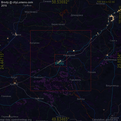
99.79%Clear (daylight) street map image can be seen on geolist.org.
Map coordinates:
50° 32' 12.9" North, 24° 26' 49.7" East
50° 5' 16.5" North, 25° 9' 1" East
49° 38' 4.7" North, 25° 51' 12.2" East
Some cities around Brody sort by population:
• Dubno
55.3 km =34.4 mi,  48°
48°
• Zolochiv
36.3 km =22.6 mi,  210°
210°
• Kremenets
41 km =25.5 mi,  88°
88°
• Radyvyliv
8.9 km =5.5 mi,  58°
58°
• Mlyniv
57.4 km =35.7 mi,  35°
35°
• Pochaiv
27.4 km =17 mi,  109°
109°
• Zboriv
47 km =29.2 mi,  180°
180°
• Krasne
42.9 km =26.7 mi,  243°
243°
711416 (p: 23,239)
Sources (retrieved 2019-11-25):
» Earth at Night: Flat Maps 2012, 2016