Kremenets night lights from space
Night Light of Kremenets (Ternopil) from space (Ukraine) Src. Average luminocity for 10x10km area is 0.8445% and for 50x50km: 0.1123%.
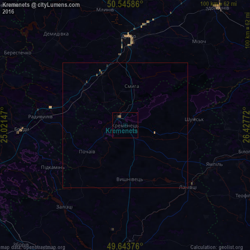
Analysis of Kremenets night lights 2016
Square area 10x10 km:
 0%
0%90-99
0%80-89
0%70-79
0%60-69
0.28%50-59
0.28%40-49
0.56%30-39
0%20-29
0.56%10-19
0.56%0-9
97.76%Square area 50x50 km:
0%90-99
0%80-89
0%70-79
0.02%60-69
0.03%50-59
0.02%40-49
0.08%30-39
0%20-29
0.04%10-19
0.04%0-9
99.76%Clear (daylight) street map image can be seen on geolist.org.
Map coordinates:
50° 32' 45.1" North, 25° 1' 17.3" East
50° 5' 48.9" North, 25° 43' 28.5" East
49° 38' 37.5" North, 26° 25' 39.8" East
Some cities around Kremenets sort by population:
• Dubno
35.6 km =22.1 mi,  1°
1°
• Zdolbuniv
59.8 km =37.2 mi,  37°
37°
• Brody
41 km =25.5 mi,  268°
268°
• Zbarazh
48.3 km =30 mi,  175°
175°
• Radyvyliv
33.6 km =20.9 mi,  276°
276°
• Lanivtsi
36.9 km =22.9 mi,  134°
134°
• Mlyniv
46.5 km =28.9 mi,  350°
350°
• Pochaiv
18.3 km =11.4 mi,  236°
236°
704143 (p: 21,000)
Sources (retrieved 2019-11-25):
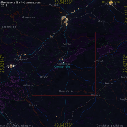
» Earth at Night: Flat Maps 2012, 2016