Pereiaslav-Khmelnytskyi night lights from space
Night Light of Pereiaslav-Khmelnytskyi (Kyiv) from space (Ukraine) Src. Average luminocity for 10x10km area is 1.7731% and for 50x50km: 0.1889%.
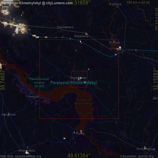
Analysis of Pereiaslav-Khmelnytskyi night lights 2016
Square area 10x10 km:
 0%
0%90-99
0%80-89
0%70-79
0%60-69
1.12%50-59
0.14%40-49
0.42%30-39
0.56%20-29
0.56%10-19
1.68%0-9
95.52%Square area 50x50 km:
0%90-99
0.02%80-89
0%70-79
0.02%60-69
0.04%50-59
0.04%40-49
0.05%30-39
0.07%20-29
0.05%10-19
0.14%0-9
99.56%Clear (daylight) street map image can be seen on geolist.org.
Map coordinates:
50° 30' 59.7" North, 30° 44' 47.7" East
50° 4' 2.6" North, 31° 26' 58.9" East
49° 36' 50.2" North, 32° 9' 10.2" East
Some cities around Pereiaslav-Khmelnytskyi sort by population:
• Boryspil’
47.4 km =29.5 mi,  312°
312°
• Kaniv
35.1 km =21.8 mi,  178°
178°
• Yahotyn
32.5 km =20.2 mi,  43°
43°
• Ukrainka
50.9 km =31.6 mi,  279°
279°
• Kaharlyk
50 km =31.1 mi,  242°
242°
• Baryshivka
33.9 km =21.1 mi,  344°
344°
• Rzhyshchiv
30.8 km =19.1 mi,  249°
249°
• Drabiv
50.8 km =31.6 mi,  103°
103°
697637 (p: 36,527)
Sources (retrieved 2019-11-25):
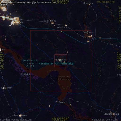
» Earth at Night: Flat Maps 2012, 2016