Baryshivka night lights from space
Night Light of Baryshivka (Kyiv) from space (Ukraine) Src. Average luminocity for 10x10km area is 0.1356% and for 50x50km: 0.4798%.
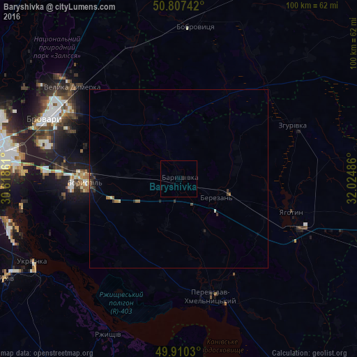
Analysis of Baryshivka night lights 2016
Square area 10x10 km:
 0%
0%90-99
0%80-89
0%70-79
0%60-69
0%50-59
0%40-49
0%30-39
0%20-29
0.14%10-19
0.43%0-9
99.42%Square area 50x50 km:
0%90-99
0.04%80-89
0.03%70-79
0.03%60-69
0.11%50-59
0.11%40-49
0.07%30-39
0.15%20-29
0.21%10-19
0.25%0-9
99%Clear (daylight) street map image can be seen on geolist.org.
Map coordinates:
50° 48' 26.7" North, 30° 37' 7" East
50° 21' 39.5" North, 31° 19' 18.2" East
49° 54' 37.1" North, 32° 1' 29.5" East
Some cities around Baryshivka sort by population:
• Brovary
40.4 km =25.1 mi,  295°
295°
• Boryspil’
26 km =16.2 mi,  267°
267°
• Pereiaslav-Khmelnytskyi
33.9 km =21.1 mi,  164°
164°
• Yahotyn
32.6 km =20.3 mi,  106°
106°
• Velyka Dymerka
39.3 km =24.4 mi,  311°
311°
• Zgurovka
36.4 km =22.6 mi,  64°
64°
• Trebukhiv
32.7 km =20.3 mi,  294°
294°
• Knyazhichi
39.8 km =24.7 mi, 286°
712787 (p: 10,762)
Sources (retrieved 2019-11-25):
» Earth at Night: Flat Maps 2012, 2016