Krasnokuts’k night lights from space
Night Light of Krasnokuts’k (Kharkiv) from space (Ukraine) Src. Average luminocity for 10x10km area is 0.4552% and for 50x50km: 0.1335%.
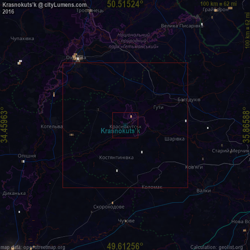
Analysis of Krasnokuts’k night lights 2016
Square area 10x10 km:
 0%
0%90-99
0%80-89
0.14%70-79
0.42%60-69
0%50-59
0%40-49
0%30-39
0%20-29
0%10-19
0%0-9
99.44%Square area 50x50 km:
0.02%90-99
0.05%80-89
0.01%70-79
0.02%60-69
0%50-59
0.02%40-49
0%30-39
0%20-29
0.08%10-19
0.03%0-9
99.78%Clear (daylight) street map image can be seen on geolist.org.
Map coordinates:
50° 30' 54.9" North, 34° 27' 34.7" East
50° 3' 57.7" North, 35° 9' 45.9" East
49° 36' 45.2" North, 35° 51' 57.2" East
Some cities around Krasnokuts’k sort by population:
• Okhtyrka
33 km =20.5 mi,  325°
325°
• Bohodukhiv
28.2 km =17.5 mi,  67°
67°
• Kotel’va
28.8 km =17.9 mi,  270°
270°
• Valky
41.1 km =25.5 mi,  128°
128°
• Trostyanets’
48.6 km =30.2 mi,  343°
343°
• Chutove
39.5 km =24.5 mi,  179°
179°
• Oposhnya
41.2 km =25.6 mi,  252°
252°
• Velyka Pysarivka
45.8 km =28.5 mi,  29°
29°
704376 (p: 8,008)
Sources (retrieved 2019-11-25):
» Earth at Night: Flat Maps 2012, 2016