Dolyns'ka night lights from space
Night Light of Dolyns'ka (Kirovohrad) from space (Ukraine) Src. Average luminocity for 10x10km area is 0.8914% and for 50x50km: 0.049%.
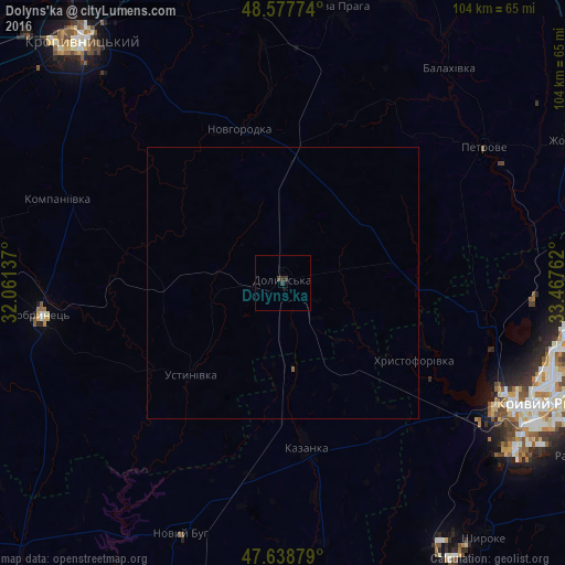
Analysis of Dolyns'ka night lights 2016
Square area 10x10 km:
 0%
0%90-99
0%80-89
0%70-79
0%60-69
0%50-59
0%40-49
0.6%30-39
1.34%20-29
0.45%10-19
0%0-9
97.62%Square area 50x50 km:
0%90-99
0%80-89
0%70-79
0%60-69
0%50-59
0.02%40-49
0.02%30-39
0.05%20-29
0.02%10-19
0%0-9
99.88%Clear (daylight) street map image can be seen on geolist.org.
Map coordinates:
48° 34' 39.9" North, 32° 3' 40.9" East
48° 6' 37.5" North, 32° 45' 52.2" East
47° 38' 19.6" North, 33° 28' 3.4" East
Some cities around Dolyns'ka sort by population:
• Kryvyi Rih
51 km =31.7 mi,  115°
115°
• Novyy Buh
49.8 km =30.9 mi,  201°
201°
• Petrove
43.5 km =27 mi,  56°
56°
• Kazanka
29.7 km =18.5 mi,  171°
171°
• Nova Praha
51.9 km =32.2 mi,  11°
11°
• Lozuvatka
39.2 km =24.4 mi,  98°
98°
• Novhorodka
29.4 km =18.3 mi,  344°
344°
• Oleksandriys’ke
57.6 km =35.8 mi,  16°
16°
709782 (p: 34,267)
Sources (retrieved 2019-11-25):
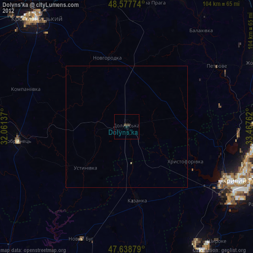
» Earth at Night: Flat Maps 2012, 2016