Nikopol night lights from space
Night Light of Nikopol (Dnipropetrovsk) from space (Ukraine) Src. Average luminocity for 10x10km area is 33.0284% and for 50x50km: 4.2053%.
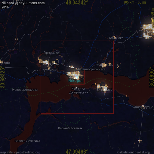
Analysis of Nikopol night lights 2016
Square area 10x10 km:
 4.12%
4.12%90-99
6.25%80-89
4.97%70-79
4.26%60-69
4.83%50-59
4.55%40-49
3.41%30-39
2.56%20-29
8.38%10-19
30.68%0-9
25.99%Square area 50x50 km:
0.54%90-99
0.64%80-89
0.41%70-79
0.57%60-69
0.46%50-59
0.46%40-49
0.62%30-39
0.48%20-29
0.72%10-19
3.45%0-9
91.66%Clear (daylight) street map image can be seen on geolist.org.
Map coordinates:
48° 2' 36.3" North, 33° 41' 35.7" East
47° 34' 16.3" North, 34° 23' 46.9" East
47° 5' 40.8" North, 35° 5' 58.2" East
Some cities around Nikopol sort by population:
• Energodar
21.2 km =13.2 mi,  112°
112°
• Marhanets’
18.8 km =11.7 mi,  67°
67°
• Tomakivka
37.5 km =23.3 mi,  43°
43°
• Novovorontsovka
36.8 km =22.9 mi,  257°
257°
• Verkhniy Rohachyk
35.9 km =22.3 mi,  187°
187°
• Chervonohryhorivka
12.1 km =7.5 mi,  61°
61°
• Vodyane
11.8 km =7.3 mi,  142°
142°
• Vil’ne
32.1 km =19.9 mi,  76°
76°
700051 (p: 130,500)
Sources (retrieved 2019-11-25):
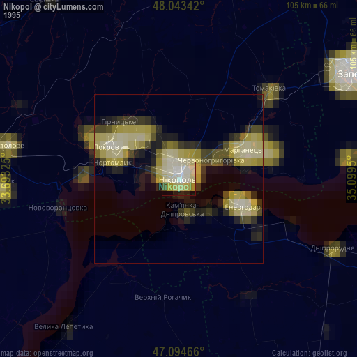
» NASA, Earths city lights 1995
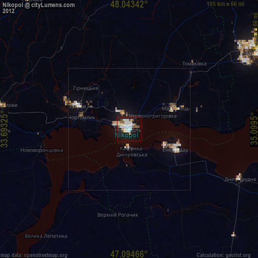
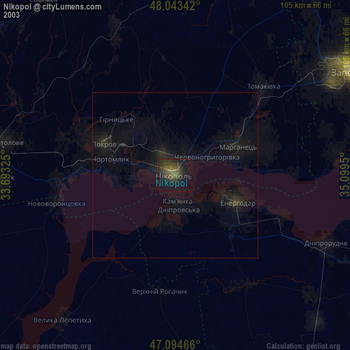
» NASA city lights 2003
» Earth at Night: Flat Maps 2012, 2016