Verkhniy Rohachyk night lights from space
Night Light of Verkhniy Rohachyk (Kherson) from space (Ukraine) Src. Average luminocity for 10x10km area is 0% and for 50x50km: 0.0555%.
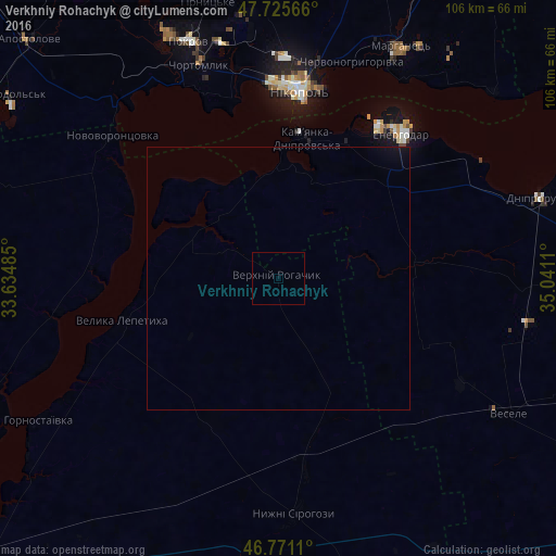
Analysis of Verkhniy Rohachyk night lights 2016
Square area 10x10 km:
 0%
0%90-99
0%80-89
0%70-79
0%60-69
0%50-59
0%40-49
0%30-39
0%20-29
0%10-19
0%0-9
100%Square area 50x50 km:
0%90-99
0%80-89
0%70-79
0%60-69
0%50-59
0%40-49
0%30-39
0%20-29
0%10-19
0.09%0-9
99.91%Clear (daylight) street map image can be seen on geolist.org.
Map coordinates:
47° 43' 32.4" North, 33° 38' 5.5" East
47° 15' 1.9" North, 34° 20' 16.7" East
46° 46' 16" North, 35° 2' 28" East
Some cities around Verkhniy Rohachyk sort by population:
• Nikopol
35.9 km =22.3 mi,  7°
7°
• Energodar
36.6 km =22.7 mi,  41°
41°
• Velyka Lepetykha
30.9 km =19.2 mi,  254°
254°
• Novovorontsovka
42.1 km =26.2 mi,  311°
311°
• Chervonohryhorivka
44.1 km =27.4 mi,  20°
20°
• Nyzhni Sirohozy
44.8 km =27.8 mi,  175°
175°
• Mala Bilozerka
45 km =28 mi,  90°
90°
• Vodyane
28.8 km =17.9 mi, 23°
689868 (p: 6,557)
Sources (retrieved 2019-11-25):
» Earth at Night: Flat Maps 2012, 2016