Kosmach night lights from space
Night Light of Kosmach (Ivano-Frankivsk) from space (Ukraine) Src. Average luminocity for 10x10km area is 0% and for 50x50km: 0.942%.
Analysis of Kosmach night lights 2016
Square area 10x10 km:
 0%
0%90-99
0%80-89
0%70-79
0%60-69
0%50-59
0%40-49
0%30-39
0%20-29
0%10-19
0%0-9
100%Square area 50x50 km:
0.03%90-99
0.16%80-89
0.12%70-79
0.1%60-69
0.21%50-59
0.12%40-49
0.12%30-39
0.15%20-29
0.11%10-19
0.84%0-9
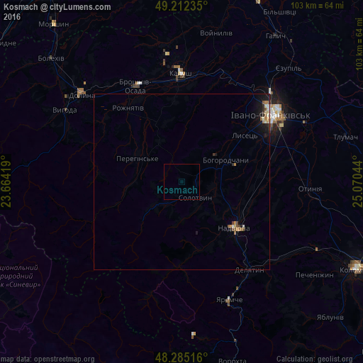
98.04%Clear (daylight) street map image can be seen on geolist.org.
Map coordinates:
49° 12' 44.5" North, 23° 39' 51.1" East
48° 45' 3.2" North, 24° 22' 2.3" East
48° 17' 6.6" North, 25° 4' 13.6" East
Some cities around Kosmach sort by population:
• Ivano-Frankivsk
31.4 km =19.5 mi,  52°
52°
• Kalush
29 km =18 mi,  0°
0°
• Nadvirna
19.7 km =12.2 mi,  131°
131°
• Delyatyn
31.6 km =19.6 mi,  143°
143°
• Lanchyn
35.7 km =22.2 mi, 126°
• Yaremche
36 km =22.4 mi,  157°
157°
• Bohorodchany
14 km =8.7 mi,  63°
63°
• Broshniv-Osada
30 km =18.6 mi,  335°
335°
704772 (p: 6,204)
Sources (retrieved 2019-11-25):
» Earth at Night: Flat Maps 2012, 2016