Yaremche night lights from space
Night Light of Yaremche (Ivano-Frankivsk) from space (Ukraine) Src. Average luminocity for 10x10km area is 1.9503% and for 50x50km: 0.4633%.
Analysis of Yaremche night lights 2016
Square area 10x10 km:
 0.43%
0.43%90-99
0.14%80-89
0%70-79
0%60-69
0%50-59
0.57%40-49
1.42%30-39
0.85%20-29
0%10-19
0%0-9
96.59%Square area 50x50 km:
0.04%90-99
0.05%80-89
0.04%70-79
0.05%60-69
0.09%50-59
0.11%40-49
0.17%30-39
0.08%20-29
0.02%10-19
0.05%0-9
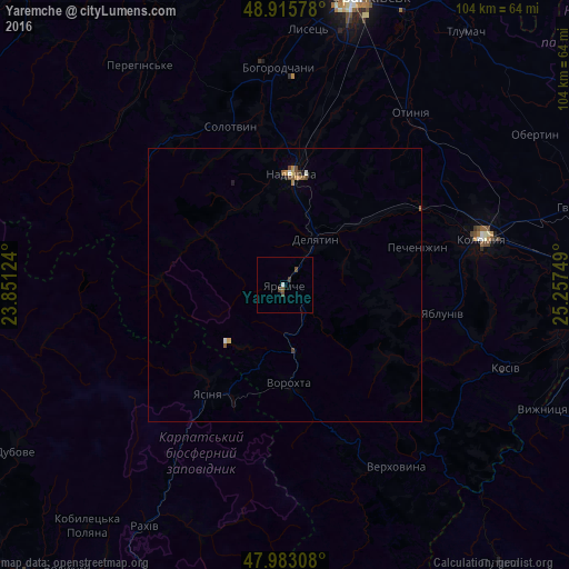
99.3%Clear (daylight) street map image can be seen on geolist.org.
Map coordinates:
48° 54' 56.8" North, 23° 51' 4.5" East
48° 27' 5.7" North, 24° 33' 15.7" East
47° 58' 59.1" North, 25° 15' 27" East
Some cities around Yaremche sort by population:
• Kolomyia
36.6 km =22.7 mi,  76°
76°
• Nadvirna
20.4 km =12.7 mi,  3°
3°
• Delyatyn
9.5 km =5.9 mi,  32°
32°
• Lanchyn
19 km =11.8 mi,  51°
51°
• Yasinya
23.9 km =14.9 mi,  216°
216°
• Kosmach
36 km =22.4 mi,  337°
337°
• Kosmach
23.9 km =14.9 mi,  124°
124°
• Pechenizhyn
26 km =16.2 mi,  74°
74°
688455 (p: 7,558)
Sources (retrieved 2019-11-25):
» Earth at Night: Flat Maps 2012, 2016