Nadvirna night lights from space
Night Light of Nadvirna (Ivano-Frankivsk) from space (Ukraine) Src. Average luminocity for 10x10km area is 7.9464% and for 50x50km: 0.4571%.
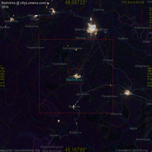
Analysis of Nadvirna night lights 2016
Square area 10x10 km:
 0.3%
0.3%90-99
0.89%80-89
0.6%70-79
1.19%60-69
2.23%50-59
1.34%40-49
2.68%30-39
0.89%20-29
0.45%10-19
0.74%0-9
88.69%Square area 50x50 km:
0.03%90-99
0.04%80-89
0.02%70-79
0.05%60-69
0.1%50-59
0.1%40-49
0.16%30-39
0.1%20-29
0.03%10-19
0.07%0-9
99.29%Clear (daylight) street map image can be seen on geolist.org.
Map coordinates:
49° 5' 50.4" North, 23° 51' 58.5" East
48° 38' 5.3" North, 24° 34' 9.7" East
48° 10' 4.8" North, 25° 16' 21" East
Some cities around Nadvirna sort by population:
• Ivano-Frankivsk
33.5 km =20.8 mi,  17°
17°
• Delyatyn
13 km =8.1 mi,  161°
161°
• Lanchyn
16.2 km =10.1 mi,  121°
121°
• Yaremche
20.4 km =12.7 mi,  183°
183°
• Bohorodchany
19.3 km =12 mi,  353°
353°
• Kosmach
19.7 km =12.2 mi,  311°
311°
• Otyniya
24.3 km =15.1 mi,  61°
61°
• Pechenizhyn
27.3 km =17 mi, 119°
700507 (p: 20,154)
Sources (retrieved 2019-11-25):
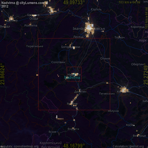
» Earth at Night: Flat Maps 2012, 2016